Tocht Stappen Boutenac - BOUTENAC - Circuit des combes par la chapelle St Siméon - Photo

BOUTENAC - Circuit des combes par la chapelle St Siméon

 Licianus2
Licianus2

Gebruiker

© OpenStreetMap contributors
Lengte
Lengte
7 km
Max. hoogte
Max. hoogte
222 m
Positief hoogteverschil
186 m
Km-Effort
Km-Effort  
9,5 km
Min. hoogte
Min. hoogte
83 m
Negatief hoogteverschil
188 m
Boucle
Boucle
Ja
Datum van aanmaak :
2021-04-26 12:20:18.554
Laatste wijziging :
2021-05-01 13:21:04.134

(3 Bericht)

Stappen
Stappen
1h39
Moeilijkheid : Medium

Scan deze QR-code om de tocht te openen in de SityTrail-applicatie

Gratisgps-wandelapplicatie

Logo SityTrail SityTrail

IGN / Geografische instituten

SityTrail uit de App Store downloaden SityTrail uit Google Play downloaden

Logo SityTrail SityTrail World

De wereld gaat voor u open

SityTrail uit de App Store downloaden SityTrail uit Google Play downloaden SityTrail op Huawei AppGallery downloaden

Over ons

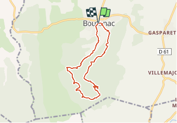
Tocht Stappen van 7 km beschikbaar op Occitanië, Aude, Boutenac. Deze tocht wordt voorgesteld door Licianus2.

Beschrijving

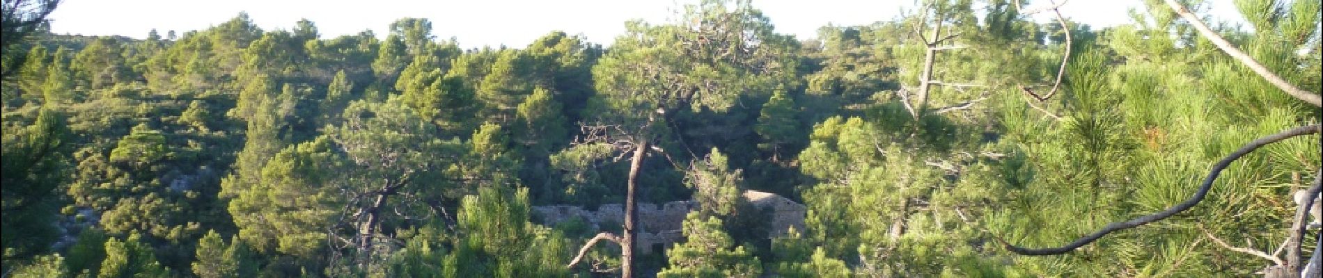
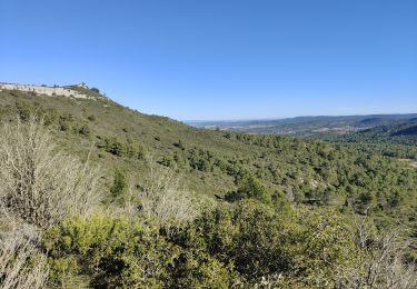
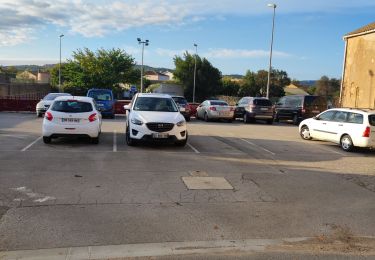
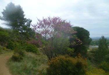
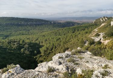
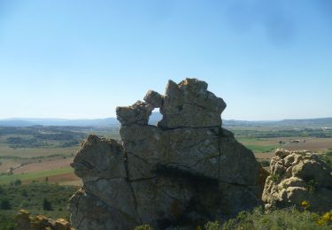
Départ de l'église de Boutenac qui bénéficie de quelques emplacement de parking. Petite boucle agréable, avec de belles panoramiques et surtout la Chapelle de St Siméon dans son écrin de verdure. Ne ratez pas la grotte de l'ermite sous la chapelle. Pas mal de cailloux sur les pistes. Le circuit effectué dans le sens horaire est plus facile, sauf le sentier qui descend vers la chapelle qui est une véritable ravine, heureusement pas très long.

Hoogteprofiel

Foto's

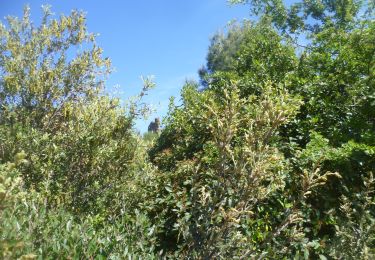
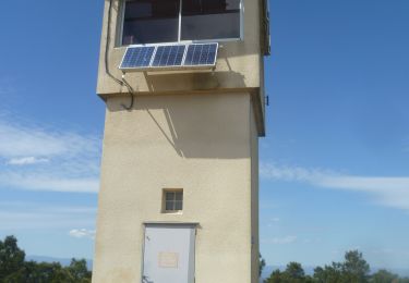
32 fotos in totaal. Klik op een foto om ze allemaal in de galerij weer te geven.

Plaatsbepaling

Land:
France
Regio :
Occitanië
Departement/Provincie :
Aude
Gemeente :
Boutenac
Locatie:
Unknown
Vertrek:(UTM)
483073 ; 4777203 (31T) N.

Opmerkingen

Gelieve in te loggen om een commentaar of een beoordeling achter te laten


Wandeltochten in de omgeving

Tocht Stappen Thézan-des-Corbières - cirque de Viviès Chantal  - Photo
Stappen
GUIDE
Ada11

Stappen

Medium
Thézan-des-Corbières, Occitanië, Aude, France
19,9 km | 27 km-effort
6h 6min
Ja
Tocht Stappen Thézan-des-Corbières - Thezan Cirque de Vivies - Photo
Stappen
caccini

Stappen

Zeer moeilijk
(1)
Thézan-des-Corbières, Occitanië, Aude, France
20 km | 27 km-effort
6h 5min
Ja
Tocht Stappen Fabrezan - François et Nathalie 1 - Photo
Stappen
andre.rochet.ar

Stappen

Medium
(1)
Fabrezan, Occitanië, Aude, France
7,8 km | 10,1 km-effort
2h 11min
Ja
Tocht Stappen Fabrezan - VILLEROUGE LA CREMADE - Le Grangeot - Photo
Stappen
Licianus2

Stappen

Medium
Fabrezan, Occitanië, Aude, France
8,1 km | 10,4 km-effort
1h 53min
Ja
Tocht Stappen Ornaisons - ORNAISONS - D'Orbieu en Pech - Photo
Stappen
Licianus2

Stappen

Gemakkelijk
(1)
Ornaisons, Occitanië, Aude, France
8,8 km | 11 km-effort
2h 4min
Ja
Tocht Stappen Boutenac - BOUTENAC - La boucle des terroirs - Photo
Stappen
Licianus2

Stappen

Medium
Boutenac, Occitanië, Aude, France
10 km | 13,4 km-effort
2h 22min
Ja
Tocht Stappen Thézan-des-Corbières - Cirque Viviès plateau Poursan - Photo
Stappen
GUIDE
Ada11

Stappen

Medium
Thézan-des-Corbières, Occitanië, Aude, France
19,9 km | 27 km-effort
4h 23min
Ja
Tocht Stappen Luc-sur-Orbieu - LUC SUR ORBIEU - la Roche trouée - Photo
Stappen
Licianus2

Stappen

Heel gemakkelijk
Luc-sur-Orbieu, Occitanië, Aude, France
6,8 km | 8,6 km-effort
1h 33min
Ja
Tocht Stappen Fabrezan - patrimoine - Photo
Stappen
andre.rochet.ar

Stappen

Gemakkelijk
Fabrezan, Occitanië, Aude, France
3,3 km | 4 km-effort
51min
Ja


Sluiten
Mijn abonnementen