17,5 km | 19,6 km-effort
Saint-Georges
tony fouché
Gebruiker
Lengte
6,8 km
Max. hoogte
125 m
Positief hoogteverschil
63 m
Km-Effort
7,6 km
Min. hoogte
90 m
Negatief hoogteverschil
70 m
Boucle
Ja
Datum van aanmaak :
2021-04-25 07:47:12.0
Laatste wijziging :
2021-04-25 09:23:05.769
1h35
Moeilijkheid : Medium
Gratisgps-wandelapplicatie
Over ons
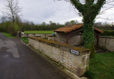
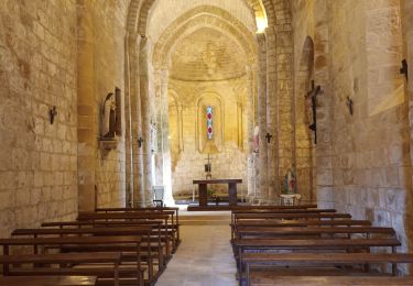
Tocht Stappen van 6,8 km beschikbaar op Nieuw-Aquitanië, Charente, Saint-Georges. Deze tocht wordt voorgesteld door tony fouché.
Plaatsbepaling
Land:
France
Regio :
Nieuw-Aquitanië
Departement/Provincie :
Charente
Gemeente :
Saint-Georges
Locatie:
Unknown
Vertrek:(Dec)
Vertrek:(UTM)
288556 ; 5094658 (31T) N.
Opmerkingen
Wandeltochten in de omgeving
rejellant chassane
Hybride fiets
Gemakkelijk
Condac,
Nieuw-Aquitanië,
Charente,
France
5h 11min
Neen
Nanteuil en Vallée Rejalland
Mountainbike
Medium
Nanteuil-en-Vallée,
Nieuw-Aquitanië,
Charente,
France
22 km | 25 km-effort
2h 2min
Neen
La rando de St GEORGES 16700
Stappen
Gemakkelijk
Saint-Georges,
Nieuw-Aquitanië,
Charente,
France
7,9 km | 8,9 km-effort
2h 28min
Ja
Condac_Bioussac_Barro
Stappen
Medium
Condac,
Nieuw-Aquitanië,
Charente,
France
26 km | 31 km-effort
6h 40min
Ja
Verteuil sur Charente
Stappen
Gemakkelijk
Verteuil-sur-Charente,
Nieuw-Aquitanië,
Charente,
France
6,6 km | 7,4 km-effort
1h 40min
Ja
Nanteuil_Condac
Stappen
Medium
Nanteuil-en-Vallée,
Nieuw-Aquitanië,
Charente,
France
26 km | 31 km-effort
7h 0min
Ja
Monts et vallées de ll'Argentor
Stappen
Gemakkelijk
Nanteuil-en-Vallée,
Nieuw-Aquitanië,
Charente,
France
11,6 km | 14,5 km-effort
3h 0min
Ja