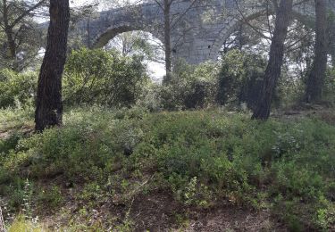
9,3 km | 10,7 km-effort
GUZARGUES SOURCE DE FONT SALAISON
Jean claude52
Gebruiker
Lengte
15,6 km
Max. hoogte
220 m
Positief hoogteverschil
265 m
Km-Effort
19,1 km
Min. hoogte
126 m
Negatief hoogteverschil
264 m
Boucle
Ja
Datum van aanmaak :
2021-04-23 07:32:47.307
Laatste wijziging :
2021-04-23 07:35:15.233
4h20
Moeilijkheid : Gemakkelijk
Gratisgps-wandelapplicatie
Over ons
Tocht Te voet van 15,6 km beschikbaar op Occitanië, Hérault, Guzargues. Deze tocht wordt voorgesteld door Jean claude52.
Plaatsbepaling
Land:
France
Regio :
Occitanië
Departement/Provincie :
Hérault
Gemeente :
Guzargues
Locatie:
Unknown
Vertrek:(Dec)
Vertrek:(UTM)
574539 ; 4841527 (31T) N.
Opmerkingen
Wandeltochten in de omgeving
2022-12-01_18h50m59_Le tour de Bannières par les petits chemins
Stappen
Medium
(1)
Castries,
Occitanië,
Hérault,
France
2h 26min
Ja
Teyran - domaine des Restinclières boucle
Paardrijden
Medium
Teyran,
Occitanië,
Hérault,
France
27 km | 32 km-effort
5h 39min
Neen
guzargues source counillière crête antenne 14.4kms 255md sens inverseénivelé
Te voet
Heel gemakkelijk
(1)
Guzargues,
Occitanië,
Hérault,
France
12,4 km | 15,8 km-effort
2h 30min
Ja
Assas circuit court
Stappen
Gemakkelijk
Assas,
Occitanië,
Hérault,
France
8,6 km | 10,5 km-effort
3h 5min
Ja
Gazette: Castries le chemin de l'eau
Te voet
Gemakkelijk
(2)
Castries,
Occitanië,
Hérault,
France
6,4 km | 7,4 km-effort
1h 45min
Ja
34 aqueducs de castrie
Stappen
Heel gemakkelijk
Castries,
Occitanië,
Hérault,
France
5,8 km | 6,8 km-effort
1h 24min
Ja