


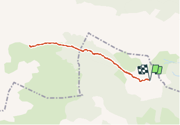

5,4 km | 7,4 km-effort

Gebruiker


Gratisgps-wandelapplicatie
 SityTrail
IGN / Geografische instituten
SityTrail World
De wereld gaat voor u open
Tocht Stappen van 8,5 km beschikbaar op Nieuw-Aquitanië, Pyrénées-Atlantiques, Lescun. Deze tocht wordt voorgesteld door bedous.
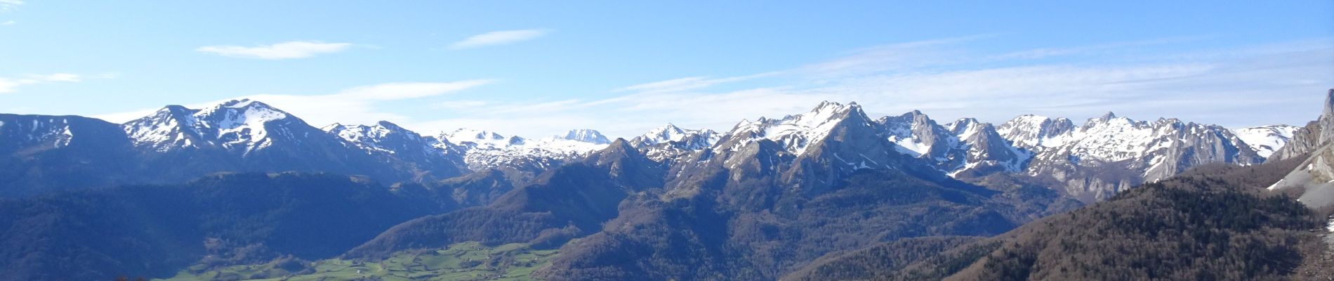
Belle rando , pas difficile, une grande partie ombragée. De trés belles vues sur le pic du midi d'Ossau, le Billard, Le pic d'Anie, les orgues de Complong , etc.....


Stappen

Stappen

Te voet

Te voet

Te voet

Te voet

Te voet
Te voet

Te voet