


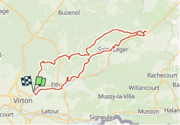


29 km | 35 km-effort

Gebruiker


Gratisgps-wandelapplicatie
 SityTrail
IGN / Geografische instituten
SityTrail World
De wereld gaat voor u open
Tocht Mountainbike van 35 km beschikbaar op Wallonië, Luxemburg, Virton. Deze tocht wordt voorgesteld door Pascal L.
Départ/Retour - Virton (Pierrard)
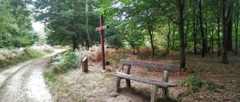
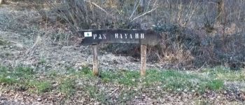
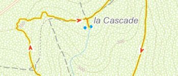
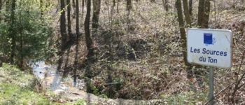
Endroits de passage : Laclaireau et son château, Hamawé, Saint-Léger, Châtillon jusqu'aux sources du Ton, TODO ...
Vidéos:
1. TODO
2.
(2021.04.18)
Ref.
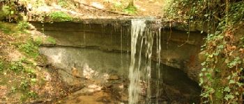
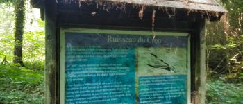
- https://fr.wikipedia.org/wiki/Ton_(rivière_belge)
- http://environnement.wallonie.be/cartosig/cartehydrogeo/#


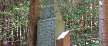
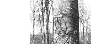
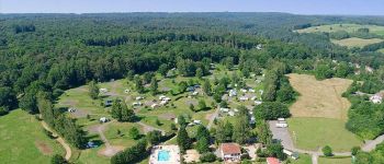
54 fotos in totaal. Klik op een foto om ze allemaal in de galerij weer te geven.

Stappen

Mountainbike

Stappen

Te voet

Stappen

Stappen

Mountainbike

Mountainbike

Mountainbike