


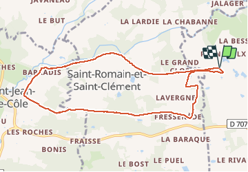

12 km | 14,4 km-effort


Gebruiker


Gratisgps-wandelapplicatie
 SityTrail
IGN / Geografische instituten
SityTrail World
De wereld gaat voor u open
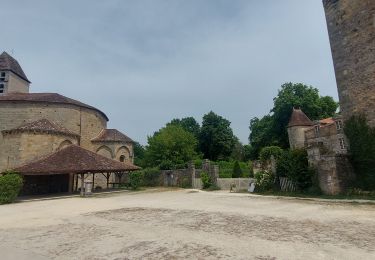
Tocht Stappen van 9,8 km beschikbaar op Nieuw-Aquitanië, Dordogne, Thiviers. Deze tocht wordt voorgesteld door Patricew.
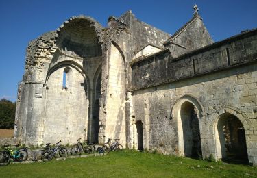
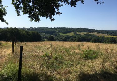
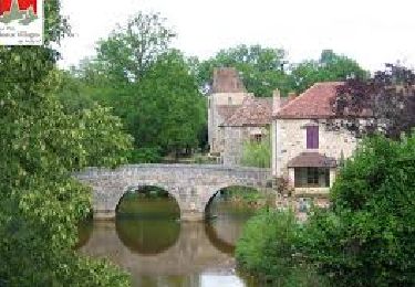
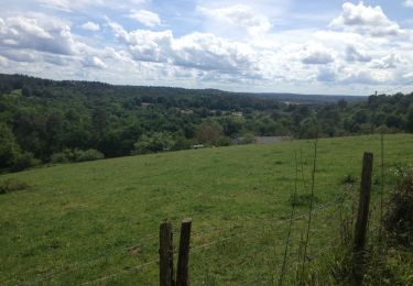
belle randonnée de 10 km assez facile
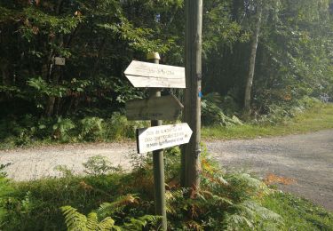
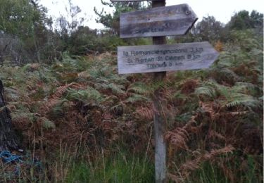
Départ voie verte, allez jusqu'à Saint Jean de Cole par voie verte, suivre le parcours
Pas de problème particulier
Stappen
Mountainbike
Stappen
Stappen
Stappen
Stappen
Stappen
Stappen


sport