


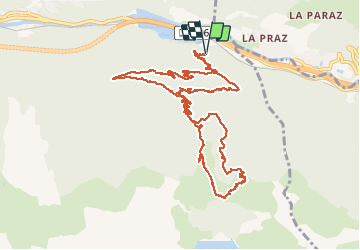

26 km | 51 km-effort

Gebruiker


Gratisgps-wandelapplicatie
 SityTrail
IGN / Geografische instituten
SityTrail World
De wereld gaat voor u open
Tocht Stappen van 13,3 km beschikbaar op Auvergne-Rhône-Alpes, Savoie, Orelle. Deze tocht wordt voorgesteld door yves12.
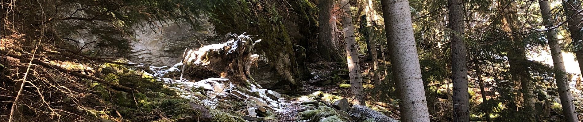
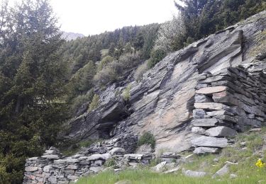
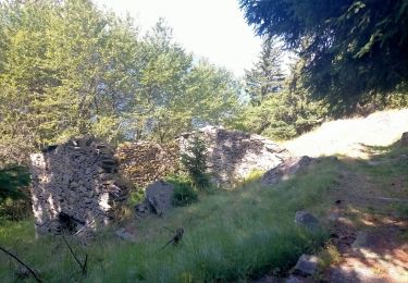
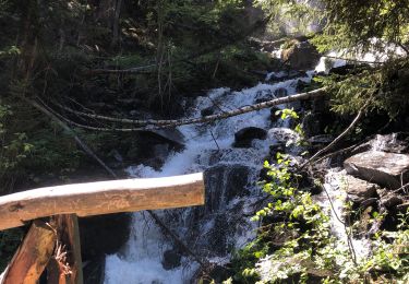
Il a refait pas mal de neige sur les hauteurs en ce mois d'avril 2021 et le sentier qui monte aux Prec est assez dangereux à cause de la neige fraîche qui s'est posé sur de la glace. Donc privilégier la route forestière t'en que la neige n'a pas fondue.On a fait une partie en chaussure puis en raquette. On est pas monté jusqu'au barrage de Bissorte à cause de la glace sous la neige, nous n'avons pas voulu prendre de risques inconsidérés !
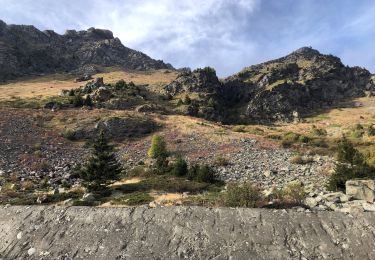
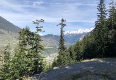
Si non de Super points de Vue et des Chamois.......


Ski randonnée

Sneeuwschoenen
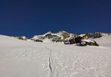
Ski randonnée
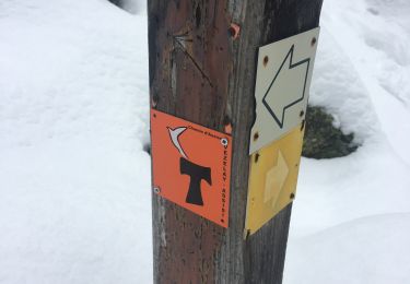
Stappen
Stappen
Stappen
Stappen
Stappen
Stappen