


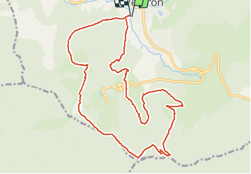

15,6 km | 25 km-effort

Gebruiker


Gratisgps-wandelapplicatie
 SityTrail
IGN / Geografische instituten
SityTrail World
De wereld gaat voor u open
Tocht Stappen van 11,2 km beschikbaar op Grand Est, Vogezen, Ventron. Deze tocht wordt voorgesteld door margotte.
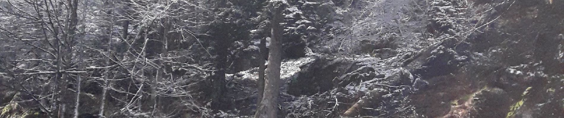
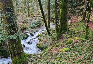
de beaux chemins et sentiers, bien entretenus par le club Vosgiens de Ventron. Forêt, chaume, points de vue, tourbière...à se régaler.


Stappen

Sneeuwschoenen

Stappen

Stappen

Stappen

Te voet

Te voet
Stappen
Stappen