


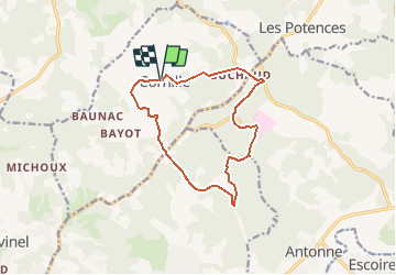

8,4 km | 10,4 km-effort


Gebruiker


Gratisgps-wandelapplicatie
 SityTrail
IGN / Geografische instituten
SityTrail World
De wereld gaat voor u open
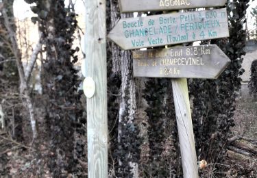
Tocht Stappen van 12,9 km beschikbaar op Nieuw-Aquitanië, Dordogne, Cornille. Deze tocht wordt voorgesteld door CC.RIDER.
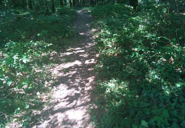
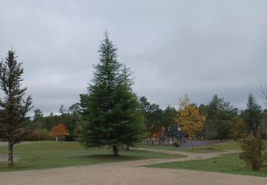
Belle rando dans la forêt domaniale de Lanmary.
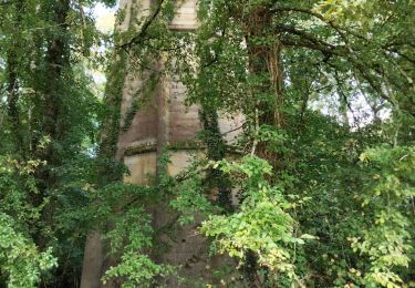
Trois châteaux en prime sur le tracé. (Lanmary, Caussade et Lauterie)

Stappen

Noords wandelen
Noords wandelen
Noords wandelen
Noords wandelen
Noords wandelen
Stappen
Stappen
Stappen
Trop de route