


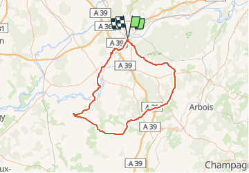

11,8 km | 15,4 km-effort


Gebruiker


Gratisgps-wandelapplicatie
 SityTrail
IGN / Geografische instituten
SityTrail World
De wereld gaat voor u open
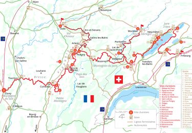
Tocht Fiets van 106 km beschikbaar op Bourgondië-Franche-Comté, Jura, Dole. Deze tocht wordt voorgesteld door albert39.
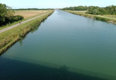
Superbe après midi ensoleillée, départ Dole, Montbarrey, Ounans, la Ferté, Aumont, Champrougier, Chaumergy (variante à faire Beauvernois, on gagne 0,5 km), Bellevesvre, Pierre de Bresse (pose et casse croûte au château), retour par Authumes et Neublans, Longwy, Peseux, Champdivers et la route habituelle Tavaux et canal.

Stappen
Stappen
Wegfiets
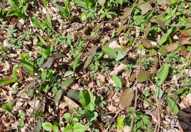
Stappen
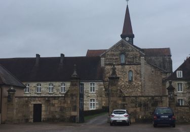
Stappen
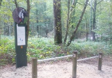
Stappen
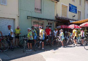
Fiets
Noords wandelen