


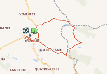


42 km | 51 km-effort

Gebruiker


Gratisgps-wandelapplicatie
 SityTrail
IGN / Geografische instituten
SityTrail World
De wereld gaat voor u open
Tocht Stappen van 8,6 km beschikbaar op Occitanië, Tarn-et-Garonne, Mirabel. Deze tocht wordt voorgesteld door Glurps.
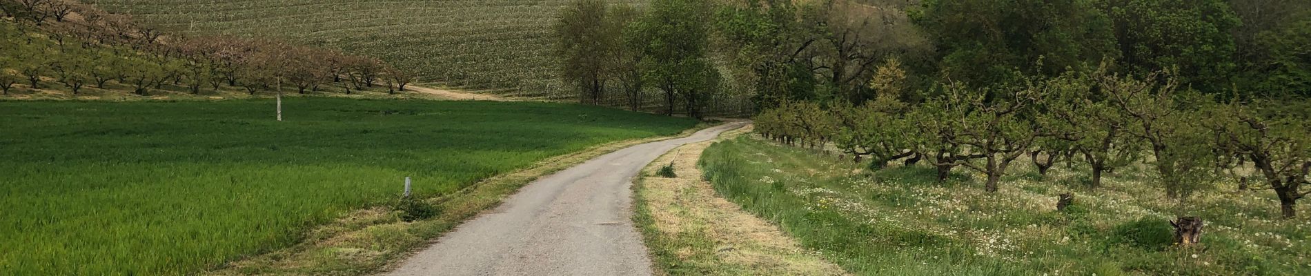
Chemin au début obstrué par végétation, et chemin à la fin dans les vergers disparu obligé de passer à travers champ


29 fotos in totaal. Klik op een foto om ze allemaal in de galerij weer te geven.

Fiets

Stappen
Stappen
Stappen
Stappen
Stappen
Stappen
Stappen
Stappen