


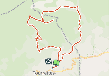

13,1 km | 22 km-effort

Gebruiker


Gratisgps-wandelapplicatie
 SityTrail
IGN / Geografische instituten
SityTrail World
De wereld gaat voor u open
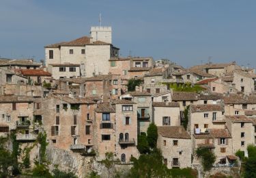
Tocht Stappen van 13,6 km beschikbaar op Provence-Alpes-Côte d'Azur, Alpes-Maritimes, Tourrettes-sur-Loup. Deze tocht wordt voorgesteld door GrouGary.
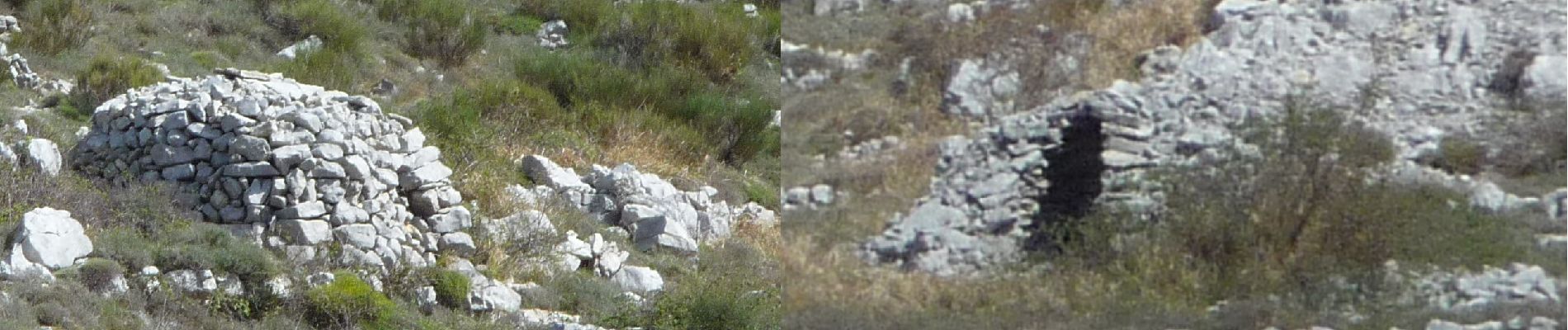
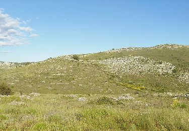
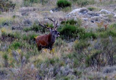
montée régulière dans d'anciennes zones pastorales...muret démolis et bories. Vue à 360° sir Mercantour enneigé, Baou de Vence, le plateau de St Barnabe, la mer de Nice à l'Esterel


Stappen

Stappen
Te voet
Te voet

Te voet
Te voet

Te voet

Te voet
Te voet