


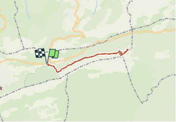

8,4 km | 15,5 km-effort

Gebruiker


Gratisgps-wandelapplicatie
 SityTrail
IGN / Geografische instituten
SityTrail World
De wereld gaat voor u open
Tocht Stappen van 12,6 km beschikbaar op Provence-Alpes-Côte d'Azur, Var, Plan-d'Aups-Sainte-Baume. Deze tocht wordt voorgesteld door fhascoet.
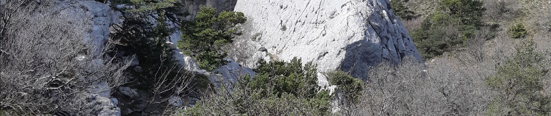
Balade très facile. il peut être nécessaire de mettre les mains pour l'arrivée sur le plateau mais sans difficultés


Stappen

Stappen

Stappen

Stappen

Stappen

Stappen

Stappen

Stappen

Stappen