13,6 km | 19 km-effort
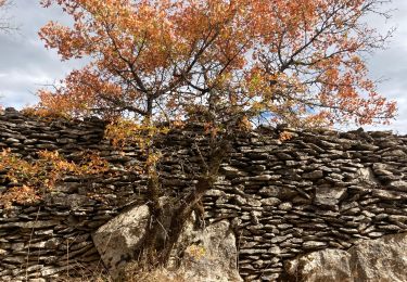
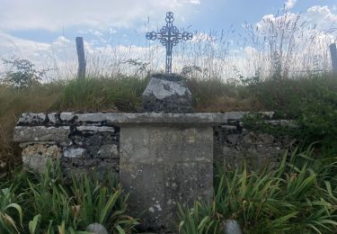
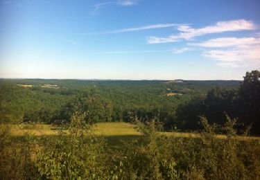
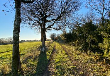
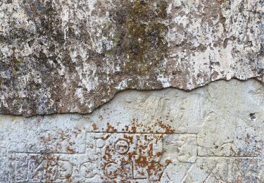
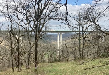
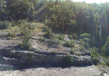
À dessus de la vallée du Vers: très belle balade rivières, vallons , causse
fxhedon
Gebruiker
Lengte
13,6 km
Max. hoogte
377 m
Positief hoogteverschil
270 m
Km-Effort
17,2 km
Min. hoogte
176 m
Negatief hoogteverschil
270 m
Boucle
Ja
Datum van aanmaak :
2021-04-05 13:34:56.0
Laatste wijziging :
2021-04-05 17:03:38.358
3h02
Moeilijkheid : Onbekend
Gratisgps-wandelapplicatie
Over ons
Tocht Stappen van 13,6 km beschikbaar op Occitanië, Lot, Cras. Deze tocht wordt voorgesteld door fxhedon.
Beschrijving
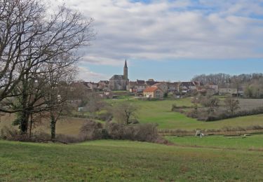
Très belle balade avec rivières, baignades, vallons, montée sur Causse, descente vallon.
Plaatsbepaling
Land:
France
Regio :
Occitanië
Departement/Provincie :
Lot
Gemeente :
Cras
Locatie:
Unknown
Vertrek:(Dec)
Vertrek:(UTM)
385312 ; 4932589 (31T) N.
Opmerkingen
Wandeltochten in de omgeving
Saint Martin - Lauzès2-12656076
Stappen
Zeer moeilijk
(1)
Les Pechs-du-Vers,
Occitanië,
Lot,
France
4h 19min
Ja
Vers merlan pech picou
Stappen
Heel gemakkelijk
Saint-Géry-Vers,
Occitanië,
Lot,
France
10,2 km | 13,5 km-effort
2h 13min
Neen
Lentillac mas de Pouchou
Stappen
Heel gemakkelijk
Sabadel-Lauzès,
Occitanië,
Lot,
France
12,4 km | 15,8 km-effort
2h 47min
Ja
boucle mossoronniere oppidum murcens vallée de la rose
Stappen
Moeilijk
Cras,
Occitanië,
Lot,
France
18,4 km | 25 km-effort
6h 25min
Ja
Merlan c
Stappen
Heel gemakkelijk
Cabrerets,
Occitanië,
Lot,
France
12 km | 14,4 km-effort
2h 33min
Ja
Guillot Gironde Cras Murcens
Stappen
Gemakkelijk
Cras,
Occitanië,
Lot,
France
14 km | 19,3 km-effort
3h 16min
Ja
Francoules
Stappen
Heel gemakkelijk
Francoulès,
Occitanië,
Lot,
France
9 km | 11,9 km-effort
1h 57min
Ja
guillotine bout de la côté
Stappen
Heel gemakkelijk
Cras,
Occitanië,
Lot,
France
7,1 km | 9,5 km-effort
1h 45min
Ja
2022-07-04_13h02m11_La Boucle du Vers en Géocaching
Mountainbike
Moeilijk
Cras,
Occitanië,
Lot,
France
30 km | 38 km-effort
2h 36min
Ja