

les canalettes

hvezinet
Gebruiker

Lengte
7,5 km

Max. hoogte
737 m

Positief hoogteverschil
107 m

Km-Effort
9 km

Min. hoogte
676 m

Negatief hoogteverschil
107 m
Boucle
Ja
Datum van aanmaak :
2014-12-10 00:00:00.0
Laatste wijziging :
2014-12-10 00:00:00.0
1h59
Moeilijkheid : Gemakkelijk

Gratisgps-wandelapplicatie
Over ons
Tocht Stappen van 7,5 km beschikbaar op Occitanië, Aveyron, Nant. Deze tocht wordt voorgesteld door hvezinet.
Beschrijving
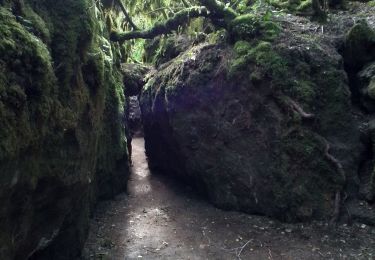
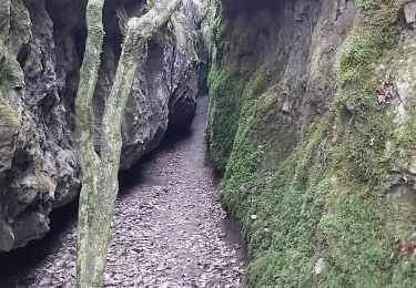
difficile de decrire l'acces aux canalettes. des marques rouges sur les arbres et des cairns indiquent les acces. le sentier jusqu"à la maison forestiere est par endroit juste visible mais existe bien.
Plaatsbepaling
Land:
France
Regio :
Occitanië
Departement/Provincie :
Aveyron
Gemeente :
Nant
Locatie:
Unknown
Vertrek:(Dec)
Vertrek:(UTM)
518927 ; 4869458 (31T) N.
Opmerkingen
Wandeltochten in de omgeving

les canalettes


Stappen
Gemakkelijk
(1)
Nant,
Occitanië,
Aveyron,
France

13,5 km | 15,6 km-effort
5h 21min
Ja

sources de Dourzon


Stappen
Heel gemakkelijk
(1)
L'Hospitalet-du-Larzac,
Occitanië,
Aveyron,
France

12,1 km | 15,8 km-effort
3h 23min
Ja
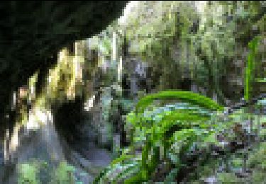
Descente des Canallettes à la source du Durzon


Stappen
Medium
Nant,
Occitanië,
Aveyron,
France

10,9 km | 14,5 km-effort
3h 17min
Ja
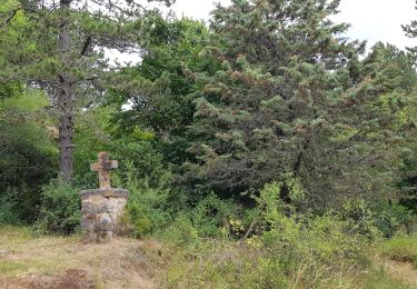
Canoles du Larzac


Noords wandelen
Heel gemakkelijk
(1)
Nant,
Occitanië,
Aveyron,
France

8,4 km | 10,1 km-effort
4h 58min
Ja
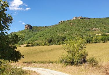
Roc des Nantais


Stappen
Medium
Nant,
Occitanië,
Aveyron,
France

9,3 km | 15,6 km-effort
4h 18min
Neen

la blaquererie (12) source du Dourzon par les canalettes


Stappen
Medium
(1)
La Couvertoirade,
Occitanië,
Aveyron,
France

19,9 km | 26 km-effort
5h 21min
Ja
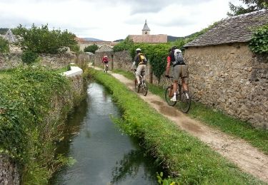
vtt larzac


Mountainbike
Medium
(1)
La Couvertoirade,
Occitanië,
Aveyron,
France

30 km | 38 km-effort
3h 25min
Neen
Sce du D'ourson Léa Cabanelles


Stappen
Moeilijk
Nant,
Occitanië,
Aveyron,
France

13,2 km | 17,4 km-effort
3h 48min
Ja


 SityTrail


