![](/images/other/stat-length.png)
![Tocht Stappen Campagna-de-Sault - Boucle de Campagna - Photo](https://media.geolcdn.com/t/1900/400/89fa471c-9075-43ae-aa27-4908dc0be538.jpg&format=pjpeg&maxdim=2)
Boucle de Campagna
PI11
Gebruiker
![Lengte](/images/other/stat-length.png)
![Max. hoogte](https://static1.geolcdn.com/siteimages/upload/files/1508320355ic_sort_altitude_max_24dp.png)
![Positief hoogteverschil](https://static1.geolcdn.com/siteimages/upload/files/1508320355ic_sort_den_pos_24dp.png)
![Km-Effort](/images/other/stat-length.png)
![Min. hoogte](https://static1.geolcdn.com/siteimages/upload/files/1508320355ic_sort_altitude_min_24dp.png)
![Negatief hoogteverschil](https://static1.geolcdn.com/siteimages/upload/files/1508320355ic_sort_den_neg_24dp.png)
![Boucle](https://static1.geolcdn.com/siteimages/upload/files/16400158638029165_repeat_loop_refresh_sync_direction_icon.png)
![Stappen](https://static1.geolcdn.com/sitytour/trail-icons/101.png)
4h32
Moeilijkheid : Medium
![Scan deze QR-code om de tocht te openen in de SityTrail-applicatie](https://capi.geolives.com/qq0zvz2zws4bq2lad0pu/sitytour/trails/2731706/qr.png?size=200)
Gratisgps-wandelapplicatie
Over ons
Tocht Stappen van 10,2 km beschikbaar op Occitanië, Aude, Campagna-de-Sault. Deze tocht wordt voorgesteld door PI11.
Beschrijving
Départ : Campagna-de-Sault, entrée du village
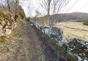
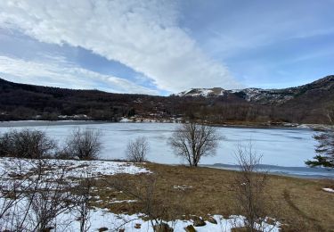
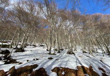
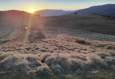
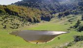
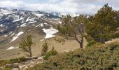
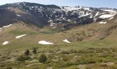
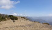
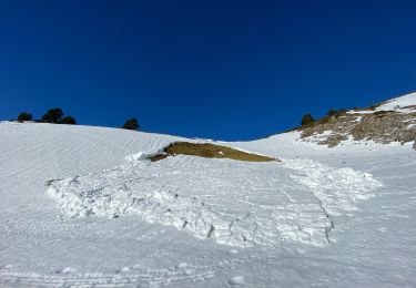
Depuis le village encaissé de Campagna-de-Sault, le sentier de transhumance s'élève jusqu'aux estives au pied du Pic de Bentaillole (1965m) et offre un paysage montagnard façonné par l’activité agro-sylvo-pastorale. Ce sentier exigeant est réservé aux randonneurs expérimentés.
https://www.rando-pyreneesaudoises.com/boucle-campagna/
Plaatsbepaling
Opmerkingen
Wandeltochten in de omgeving
![Tocht Stappen Mijanès - Col de pailheres depuis station Mijanes Pic du Ginesta - Photo](https://media.geolcdn.com/t/375/260/ddd6575f-2693-4b08-a18d-9b295d26eac7.jpg&format=jpg&maxdim=2)
![Stappen Stappen](https://static1.geolcdn.com/sitytour/trail-icons/101.png)
Stappen
![](/images/other/stat-length.png)
![](https://static1.geolcdn.com/siteimages/upload/files/16400158638029165_repeat_loop_refresh_sync_direction_icon.png)
![Tocht Stappen Le Pla - Mijanès Montferrant - Photo](https://media.geolcdn.com/t/375/260/0b09ad5c-bc59-4aaa-9b80-88720e54a38c.jpg&format=jpg&maxdim=2)
![Stappen Stappen](https://static1.geolcdn.com/sitytour/trail-icons/101.png)
Stappen
![](/images/other/stat-length.png)
![](https://static1.geolcdn.com/siteimages/upload/files/16400158638029165_repeat_loop_refresh_sync_direction_icon.png)
![Tocht Stappen Mijanès - Mijanès prairie d’artigues - Photo](https://media.geolcdn.com/t/375/260/79533b2d-a1d3-41b4-9988-1271346d53fa.jpg&format=jpg&maxdim=2)
![Stappen Stappen](https://static1.geolcdn.com/sitytour/trail-icons/101.png)
Stappen
![](/images/other/stat-length.png)
![](https://static1.geolcdn.com/siteimages/upload/files/16400158638029165_repeat_loop_refresh_sync_direction_icon.png)
![Tocht Sneeuwschoenen Mijanès - Mijanes station cabane de la mire - Photo](https://media.geolcdn.com/t/375/260/6b8b834b-8a6e-428b-8c8e-ba7810d44f96.jpg&format=jpg&maxdim=2)
![Sneeuwschoenen Sneeuwschoenen](https://static1.geolcdn.com/sitytour/trail-icons/504.png)
Sneeuwschoenen
![](/images/other/stat-length.png)
![](https://static1.geolcdn.com/siteimages/upload/files/16400158638029165_repeat_loop_refresh_sync_direction_icon.png)
![Tocht Sneeuwschoenen Mijanès - Mijanes station col de Pailheres - Photo](https://media.geolcdn.com/t/375/260/35a8dce1-50c7-4801-828e-cf0e36a7892d.jpg&format=jpg&maxdim=2)
![Sneeuwschoenen Sneeuwschoenen](https://static1.geolcdn.com/sitytour/trail-icons/504.png)
Sneeuwschoenen
![](/images/other/stat-length.png)
![](https://static1.geolcdn.com/siteimages/upload/files/16400158638029165_repeat_loop_refresh_sync_direction_icon.png)
![Tocht Stappen Mijanès - l’Ourtiset - Photo](https://media.geolcdn.com/t/375/260/fa817c30-17da-41aa-8023-ac41831ec2c6.jpg&format=jpg&maxdim=2)
![Stappen Stappen](https://static1.geolcdn.com/sitytour/trail-icons/101.png)
![Tocht Stappen Mazuby - Le Pic d''Ourtiset 1934 m, depuis le Col de Tourrugue - Photo](https://media.geolcdn.com/t/375/260/ext.jpg?maxdim=2&url=https%3A%2F%2Fservices.sitytrail.com%2FGeolivesWS%2FDownloadMedia.ashx%3FTrailID%3D215252%26Media%3D15345_1.jpg)
![Stappen Stappen](https://static1.geolcdn.com/sitytour/trail-icons/101.png)
Stappen
![](/images/other/stat-length.png)
![](https://static1.geolcdn.com/siteimages/upload/files/16400158638029165_repeat_loop_refresh_sync_direction_icon.png)
![Tocht Paard Rouze - Le chemin de Vauban - Rouze - Les Angles - Photo](https://media.geolcdn.com/t/375/260/ext.jpg?maxdim=2&url=https%3A%2F%2Fservices.sitytrail.com%2FGeolivesWS%2FDownloadMedia.ashx%3FTrailID%3D108512%26Media%3D1242_1.jpg)
![Paard Paard](https://static1.geolcdn.com/sitytour/trail-icons/300.png)
Paard
![](/images/other/stat-length.png)
![](https://static1.geolcdn.com/siteimages/upload/files/16400158638029165_repeat_loop_refresh_sync_direction_icon.png)
![Tocht Paard Mijanès - Mijanès - Prades - Photo](https://media.geolcdn.com/t/375/260/ext.jpg?maxdim=2&url=https%3A%2F%2Fservices.sitytrail.com%2FGeolivesWS%2FDownloadMedia.ashx%3FTrailID%3D108231%26Media%3D870_1.jpg)
![Paard Paard](https://static1.geolcdn.com/sitytour/trail-icons/300.png)
Paard
![](/images/other/stat-length.png)
![](https://static1.geolcdn.com/siteimages/upload/files/16400158638029165_repeat_loop_refresh_sync_direction_icon.png)