


15,3 km | 23 km-effort

Gebruiker


Gratisgps-wandelapplicatie
 SityTrail
IGN / Geografische instituten
SityTrail World
De wereld gaat voor u open
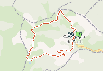
Tocht Stappen van 10,2 km beschikbaar op Occitanië, Aude, Campagna-de-Sault. Deze tocht wordt voorgesteld door PI11.
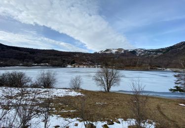
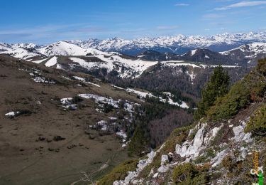
Départ : Campagna-de-Sault, entrée du village
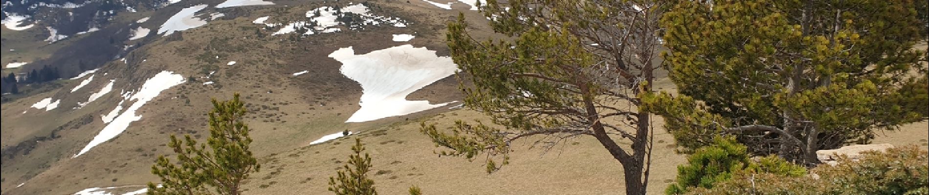
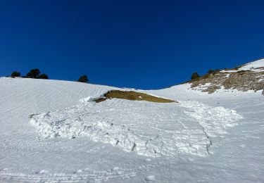
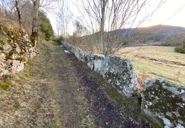
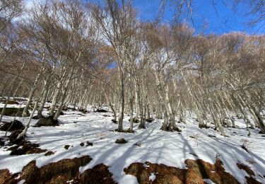
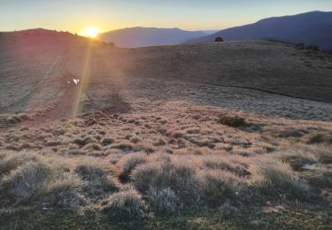
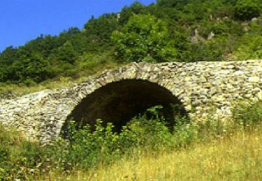
Depuis le village encaissé de Campagna-de-Sault, le sentier de transhumance s'élève jusqu'aux estives au pied du Pic de Bentaillole (1965m) et offre un paysage montagnard façonné par l’activité agro-sylvo-pastorale. Ce sentier exigeant est réservé aux randonneurs expérimentés.
https://www.rando-pyreneesaudoises.com/boucle-campagna/


Stappen
Stappen
Stappen
Sneeuwschoenen
Sneeuwschoenen
Stappen
Paard
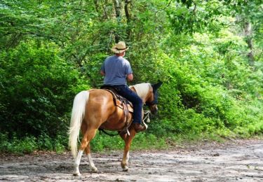
Paard