


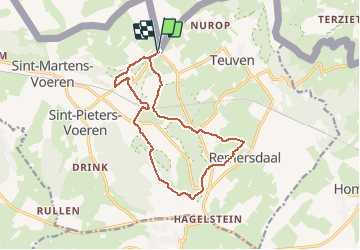

6,6 km | 8,9 km-effort

Gebruiker GUIDE


Gratisgps-wandelapplicatie
 SityTrail
IGN / Geografische instituten
SityTrail World
De wereld gaat voor u open
Tocht Stappen van 12,5 km beschikbaar op Limburg, Onbekend, Gulpen-Wittem. Deze tocht wordt voorgesteld door mumu.larandonneuse.
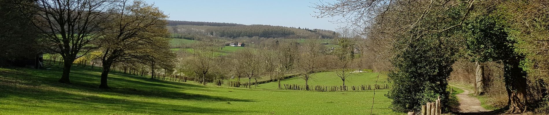
Belle promenade vallonnée et panoramique autour de la vallée de la Voer, en alternant les bois, les prairies et les chemins campagnards.
📌🅿️ à côté du Restaurant 't Boerenhof De Planck 48, Voeren
ℹ Gpx pris sur www.wandelgidszuidlimburg.com n° 1141.


Stappen

Stappen

Stappen

Stappen

Stappen

Stappen

Stappen

Stappen

Stappen
⭐⭐⭐⭐⭐ Superbe parcours qui alterne les bois, les prairies et les chemins campagnards. Cerise sur le gâteau, la fin du parcours passe près d'un distributeur automatique de glaces artisanales à la ferme.