


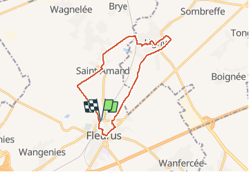


3,6 km | 4,8 km-effort

Gebruiker


Gratisgps-wandelapplicatie
 SityTrail
IGN / Geografische instituten
SityTrail World
De wereld gaat voor u open
Tocht Stappen van 12 km beschikbaar op Wallonië, Henegouwen, Fleurus. Deze tocht wordt voorgesteld door Eric Vandenberg.
sur les traces de Napoléon à Fleurus


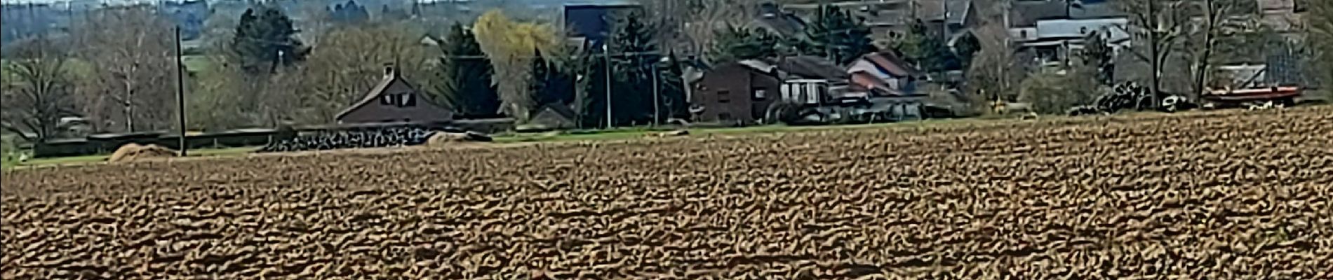
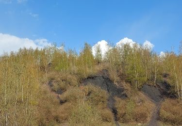
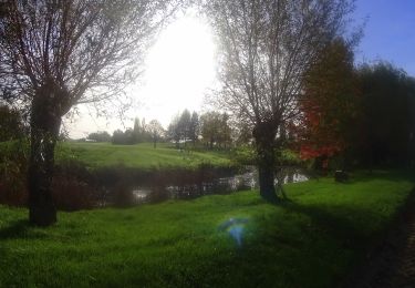
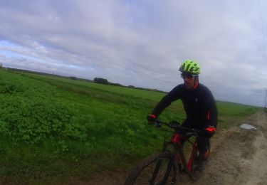
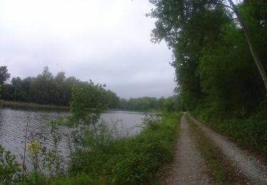
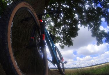
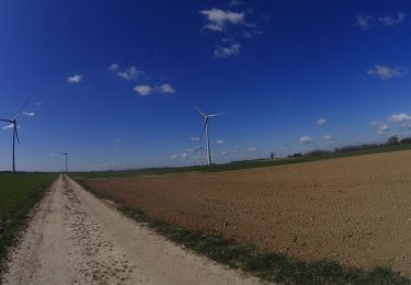
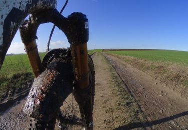
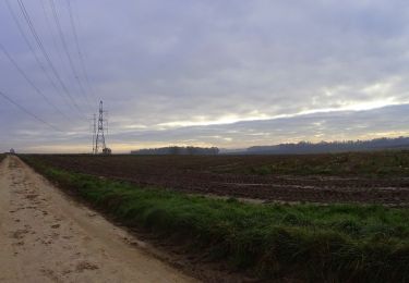
25 fotos in totaal. Klik op een foto om ze allemaal in de galerij weer te geven.
Stappen
Mountainbike
Mountainbike

Mountainbike
Mountainbike
Mountainbike
Mountainbike
Mountainbike
Mountainbike