


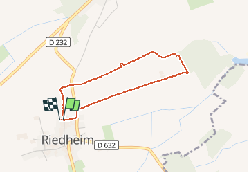

11,6 km | 17,3 km-effort


Gebruiker


Gratisgps-wandelapplicatie
 SityTrail
IGN / Geografische instituten
SityTrail World
De wereld gaat voor u open
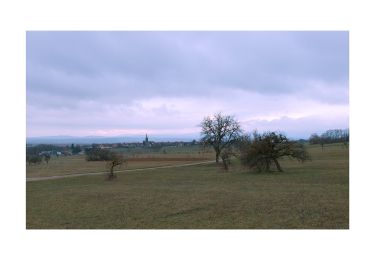
Tocht Noords wandelen van 3,1 km beschikbaar op Grand Est, Bas-Rhin, Bouxwiller. Deze tocht wordt voorgesteld door Roudy Mada.
A
Te voet

Te voet
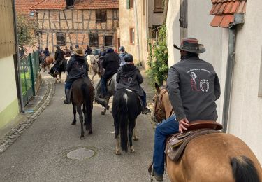
Paardrijden

Stappen
Stappen
Te voet
Stappen

Stappen
Stappen