


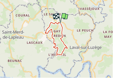

6,9 km | 8,7 km-effort

Gebruiker


Gratisgps-wandelapplicatie
 SityTrail
IGN / Geografische instituten
SityTrail World
De wereld gaat voor u open
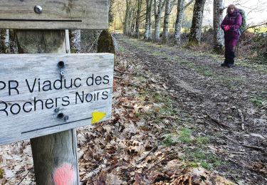
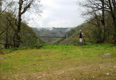
Tocht Stappen van 10,7 km beschikbaar op Nieuw-Aquitanië, Corrèze, Laval-sur-Luzège. Deze tocht wordt voorgesteld door arnoultjf.
Difficile


Stappen
Stappen
Stappen
Stappen

Paard

Mountainbike

Stappen

Mountainbike
Stappen