


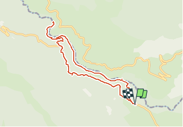

9,3 km | 20 km-effort

Gebruiker


Gratisgps-wandelapplicatie
 SityTrail
IGN / Geografische instituten
SityTrail World
De wereld gaat voor u open
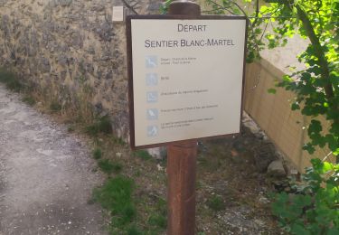
Tocht Stappen van 9,6 km beschikbaar op Provence-Alpes-Côte d'Azur, Var, Aiguines. Deze tocht wordt voorgesteld door lviallet.
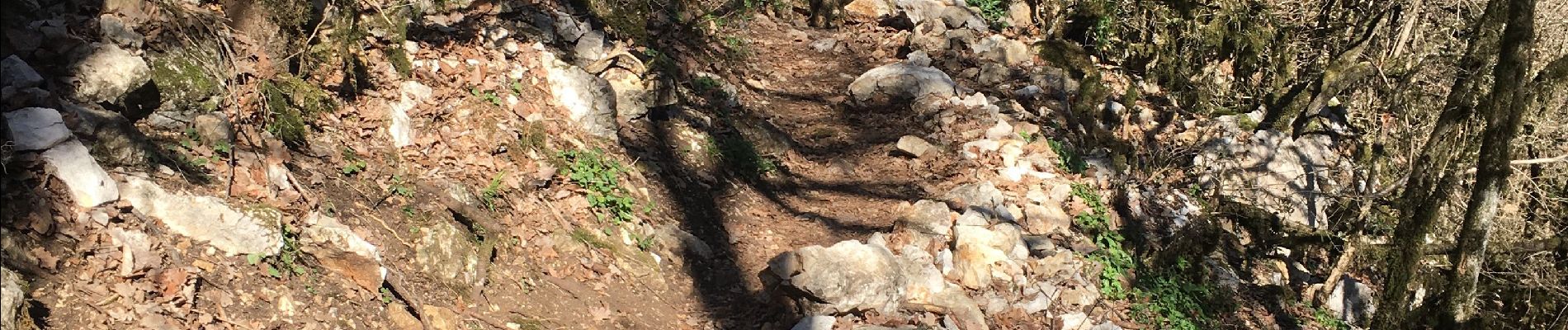
Magnifique randonnées sportive!... mais attention:
Pas d'enfants de moins de 10 ans, ne pas avoir le vertige et chiens interdits.


Stappen

Stappen

Stappen

Stappen

Stappen
Stappen

Stappen
Stappen
Stappen