15,1 km | 18,8 km-effort
Solomiac-Maubec
lorenzot54
Gebruiker
Lengte
29 km
Max. hoogte
193 m
Positief hoogteverschil
345 m
Km-Effort
34 km
Min. hoogte
112 m
Negatief hoogteverschil
346 m
Boucle
Ja
Datum van aanmaak :
2021-03-24 14:53:52.0
Laatste wijziging :
2021-03-24 17:17:02.925
1h51
Moeilijkheid : Onbekend
Gratisgps-wandelapplicatie
Over ons
Tocht Mountainbike van 29 km beschikbaar op Occitanië, Gers, Mauvezin. Deze tocht wordt voorgesteld door lorenzot54.
Beschrijving
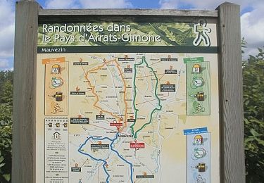
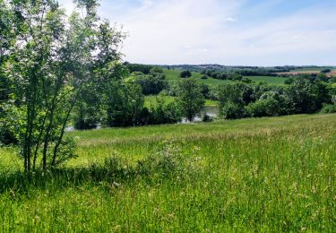
Rando par lesPR en longeant le ruisseau, très belle vue sur le massif de Pyrénées après Maubec.
Plaatsbepaling
Land:
France
Regio :
Occitanië
Departement/Provincie :
Gers
Gemeente :
Mauvezin
Locatie:
Unknown
Vertrek:(Dec)
Vertrek:(UTM)
329762 ; 4844915 (31T) N.
Opmerkingen
Wandeltochten in de omgeving
Wikiloc - Mauvezin Le Gouffre de La Hobio
Te voet
Gemakkelijk
(1)
Mauvezin,
Occitanië,
Gers,
France
Onbekend
Ja
Ronde des foies gras - Mauvezin
Lopen
Moeilijk
Mauvezin,
Occitanië,
Gers,
France
25 km | 29 km-effort
3h 0min
Neen
Ronde des foies gras - Mauvezin
Mountainbike
Medium
Mauvezin,
Occitanië,
Gers,
France
25 km | 29 km-effort
2h 0min
Neen
Circuit des Jonquilles
Te voet
Gemakkelijk
Mauvezin,
Occitanië,
Gers,
France
13,4 km | 15,3 km-effort
3h 15min
Ja
La Gimone - Sarrant
Mountainbike
Gemakkelijk
Mauvezin,
Occitanië,
Gers,
France
25 km | 29 km-effort
2h 24min
Ja
Marie vers Saint sauvy
Stappen
Heel gemakkelijk
Saint-Antonin,
Occitanië,
Gers,
France
5,8 km | 6,7 km-effort
1h 28min
Neen
Randonnée VTT - Mauvezin
Mountainbike
Medium
Mauvezin,
Occitanië,
Gers,
France
15,5 km | 18,3 km-effort
1h 10min
Ja
mauvezin rando degust
Stappen
Moeilijk
Mauvezin,
Occitanië,
Gers,
France
14,5 km | 16,5 km-effort
4h 4min
Ja