9,9 km | 13,6 km-effort
Neffies
Gm3400
Gebruiker
Lengte
10,4 km
Max. hoogte
349 m
Positief hoogteverschil
210 m
Km-Effort
13,5 km
Min. hoogte
162 m
Negatief hoogteverschil
289 m
Boucle
Neen
Datum van aanmaak :
2021-03-09 09:48:48.0
Laatste wijziging :
2021-03-09 16:23:38.214
3h31
Moeilijkheid : Onbekend
Gratisgps-wandelapplicatie
Over ons
Tocht Stappen van 10,4 km beschikbaar op Occitanië, Hérault, Neffiès. Deze tocht wordt voorgesteld door Gm3400.
Beschrijving
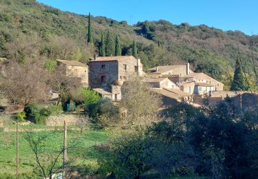
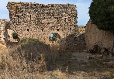
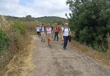
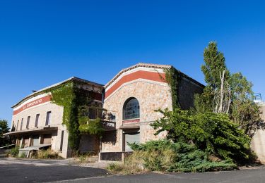
Randonnée le plateau de falgairas
Plaatsbepaling
Land:
France
Regio :
Occitanië
Departement/Provincie :
Hérault
Gemeente :
Neffiès
Locatie:
Unknown
Vertrek:(Dec)
Vertrek:(UTM)
525729 ; 4822260 (31T) N.
Opmerkingen
Wandeltochten in de omgeving
Vailhan ses ruines, son chateau et sa vierge
Stappen
Heel gemakkelijk
(4)
Vailhan,
Occitanië,
Hérault,
France
2h 53min
Ja
Espace VTT FFC Salagou - Circuit n° 6 - Les Crozes
Mountainbike
Moeilijk
(1)
Cabrières,
Occitanië,
Hérault,
France
17,2 km | 23 km-effort
1h 30min
Ja
Fontès - Vignes et Volcans - Le Céressou
Te voet
Gemakkelijk
Fontès,
Occitanië,
Hérault,
France
11 km | 15,9 km-effort
3h 36min
Ja
Sentier du Temple
Te voet
Gemakkelijk
Cabrières,
Occitanië,
Hérault,
France
9,3 km | 12,9 km-effort
2h 56min
Ja
Vailhan - les crozes
Stappen
Medium
(1)
Vailhan,
Occitanië,
Hérault,
France
13 km | 17,7 km-effort
3h 57min
Neen
Le Serre de Perret
Stappen
Medium
Cabrières,
Occitanië,
Hérault,
France
12,2 km | 17 km-effort
4h 30min
Ja
randonnée à Neffies
Stappen
Gemakkelijk
Neffiès,
Occitanië,
Hérault,
France
9,2 km | 11,8 km-effort
2h 51min
Ja
Gabian et la rivière la Thongue
Te voet
Gemakkelijk
Gabian,
Occitanië,
Hérault,
France
6,5 km | 8,6 km-effort
1h 57min
Ja
Pézènes-les-Mines : vallée de la Peyne et village de Fos
Te voet
Gemakkelijk
Montesquieu,
Occitanië,
Hérault,
France
8,9 km | 12,6 km-effort
2h 51min
Neen