


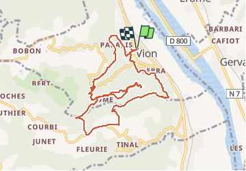

18,8 km | 25 km-effort


Gebruiker


Gratisgps-wandelapplicatie
 SityTrail
IGN / Geografische instituten
SityTrail World
De wereld gaat voor u open
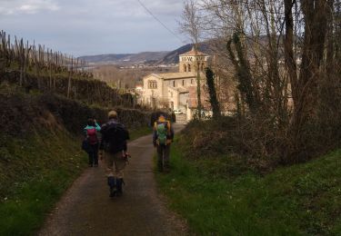
Tocht Stappen van 11 km beschikbaar op Auvergne-Rhône-Alpes, Ardèche, Vion. Deze tocht wordt voorgesteld door lerouge8726.
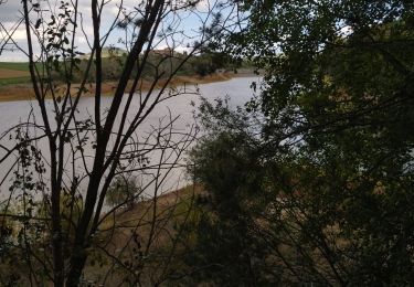
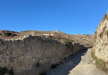
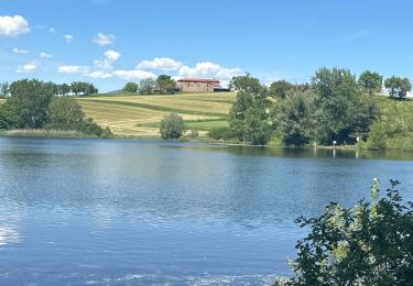
LA rando utilise de vieux sentiers qui comportent 3 passages difficiles et raides. Il y a en plus 4 passages à guet en principe sans difficulté mais attention à la meteo des jours precedents. Pour le reste c'est plutot facile et pittoresque.
Stappen

Motor

Mountainbike

sport
sport

Stappen
Mountainbike
Stappen

Stappen