


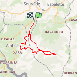


18,3 km | 29 km-effort


Gebruiker


Gratisgps-wandelapplicatie
 SityTrail
IGN / Geografische instituten
SityTrail World
De wereld gaat voor u open
Tocht Stappen van 13,5 km beschikbaar op Nieuw-Aquitanië, Pyrénées-Atlantiques, Souraïde. Deze tocht wordt voorgesteld door DECHAMPD.
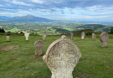
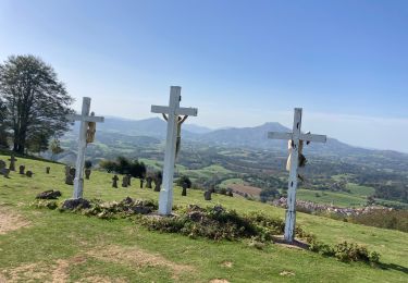
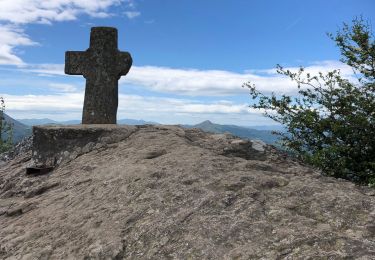
depuis le col dePINADIETA, Mendiondoa, la chapelle d'Arantze et le calvaire, le col des trois croix, le refuge Gainekoborda avec contour de l'Atzulegi, la face nord de l'Erebi par le GR10.

Stappen

Lopen

Stappen

Stappen
Stappen

Stappen
Stappen
Stappen
Stappen