

Capceze01

altair53
Gebruiker

Lengte
6,6 km

Max. hoogte
704 m

Positief hoogteverschil
258 m

Km-Effort
10,1 km

Min. hoogte
472 m

Negatief hoogteverschil
263 m
Boucle
Ja
Datum van aanmaak :
2014-12-10 00:00:00.0
Laatste wijziging :
2014-12-10 00:00:00.0
2h20
Moeilijkheid : Medium

Gratisgps-wandelapplicatie
Over ons
Tocht Stappen van 6,6 km beschikbaar op Occitanië, Lozère, Saint-André-Capcèze. Deze tocht wordt voorgesteld door altair53.
Beschrijving
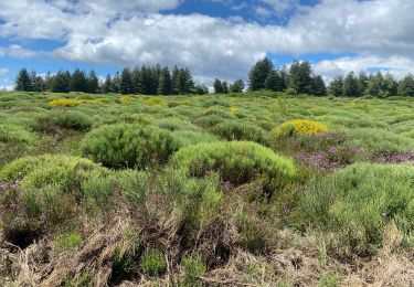
Petit parking au point de départ (fin route asphaltée). Monter entre les 2 bâtiments (plusieurs barrières à bien refermer après passage).
Plaatsbepaling
Land:
France
Regio :
Occitanië
Departement/Provincie :
Lozère
Gemeente :
Saint-André-Capcèze
Locatie:
Unknown
Vertrek:(Dec)
Vertrek:(UTM)
574844 ; 4918425 (31T) N.
Opmerkingen
Wandeltochten in de omgeving
GRP Tour du Chassezac en 2 jours


Stappen
Moeilijk
Pied-de-Borne,
Occitanië,
Lozère,
France

25 km | 36 km-effort
6h 50min
Neen

2023-01-22_15h09m14_Cirkwi-La_Virado_del_Ronc


Stappen
Moeilijk
(1)
Concoules,
Occitanië,
Gard,
France

9,3 km | 15,6 km-effort
3h 32min
Ja
GR 44


Te voet
Gemakkelijk
Malons-et-Elze,
Occitanië,
Gard,
France

4,8 km | 6,4 km-effort
1h 26min
Neen
Nord haute Vallee de la Cèze


Stappen
Moeilijk
Ponteils-et-Brésis,
Occitanië,
Gard,
France

23 km | 34 km-effort
6h 50min
Ja
Bour a es


Stappen
Zeer moeilijk
Ponteils-et-Brésis,
Occitanië,
Gard,
France

24 km | 36 km-effort
7h 37min
Ja

Mont Lozère au départ de Concoules


Stappen
Moeilijk
Concoules,
Occitanië,
Gard,
France

22 km | 35 km-effort
6h 42min
Ja
Le tour du Chassezac


Stappen
Zeer moeilijk
Pied-de-Borne,
Occitanië,
Lozère,
France

49 km | 72 km-effort
37h 28min
Ja


 SityTrail


