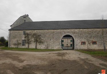
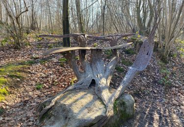
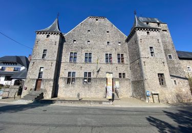
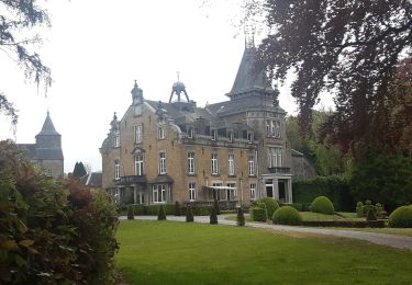
Tocht Te voet Anthisnes - AS04 Boucle des Moulins - Photo

AS04 Boucle des Moulins

Discover trails in Esneux GUIDE+

© OpenStreetMap contributors
Lengte
Lengte
6,8 km
Max. hoogte
Max. hoogte
285 m
Positief hoogteverschil
144 m
Km-Effort
Km-Effort  
8,7 km
Min. hoogte
Min. hoogte
190 m
Negatief hoogteverschil
143 m
Boucle
Boucle
Ja
Datum van aanmaak :
2021-03-05 10:47:44.961
Laatste wijziging :
2021-03-08 11:02:40.306

(0 Bericht)

Te voet
Te voet
2h00
Moeilijkheid : Medium
Fiets
Fiets
30m
Moeilijkheid : Gemakkelijk

Scan deze QR-code om de tocht te openen in de SityTrail-applicatie

Gratisgps-wandelapplicatie

Logo SityTrail SityTrail

IGN / Geografische instituten

SityTrail uit de App Store downloaden SityTrail uit Google Play downloaden

Logo SityTrail SityTrail World

De wereld gaat voor u open

SityTrail uit de App Store downloaden SityTrail uit Google Play downloaden SityTrail op Huawei AppGallery downloaden

Over ons

Tocht Te voet van 6,8 km beschikbaar op Wallonië, Luik, Anthisnes. Deze tocht wordt voorgesteld door Trails in Esneux.

Beschrijving

Suivez le balisage losange jaune.

Hoogteprofiel

Plaatsbepaling

Land:
Belgium
Regio :
Wallonië
Departement/Provincie :
Luik
Gemeente :
Anthisnes
Locatie:
Tavier
Vertrek:(Dec)
Vertrek:(UTM)
674685 ; 5596077 (31U) N.

Wandeltochten in de omgeving

Tocht Stappen Anthisnes - RB-Lg-18_Tavier - Photo
Stappen
PRO

Stappen

Zeer moeilijk
(10)
Anthisnes, Wallonië, Luik, Belgium
22 km | 28 km-effort
6h 19min
Ja
Tocht Stappen Anthisnes - Anthines - AS03 - Boucle de Tolumont - Losange Bleu - Photo
Stappen
GUIDE
Alfredy

Stappen

Medium
(2)
Anthisnes, Wallonië, Luik, Belgium
13,9 km | 18,2 km-effort
2h 56min
Ja
Tocht Te voet Anthisnes - AS03 Boucle de Tolumont - Photo
Te voet
GUIDE+

Te voet

Medium
(1)
Anthisnes, Wallonië, Luik, Belgium
13,4 km | 17,6 km-effort
3h 20min
Ja
Tocht Stappen Anthisnes - Hody . drive d Anthisnes . carrière . Targnon . Hestreux . Fond de Sart . Hody - Photo
Stappen
GUIDE
stef789

Stappen

Gemakkelijk
(1)
Anthisnes, Wallonië, Luik, Belgium
11,5 km | 14,2 km-effort
3h 6min
Ja
Tocht Stappen Esneux - à travers les bois d Anthines et d Esneux - Photo
Stappen
GUIDE
stef789

Stappen

Heel gemakkelijk
(2)
Esneux, Wallonië, Luik, Belgium
11 km | 15 km-effort
3h 1min
Ja
Tocht Stappen Ouffet - Warzée - Photo
Stappen
Jacques Guisse

Stappen

Gemakkelijk
(1)
Ouffet, Wallonië, Luik, Belgium
10,3 km | 12,4 km-effort
2h 28min
Ja
Tocht Mountainbike Anthisnes - première rando anthisne tavier - Photo
Mountainbike
Amby

Mountainbike

Medium
(1)
Anthisnes, Wallonië, Luik, Belgium
10,2 km | 13,4 km-effort
1h 8min
Ja
Tocht Stappen Anthisnes - départ du château de l'Avouerie d'Anthisnes - Photo
Stappen
henriantoine

Stappen

Heel gemakkelijk
(1)
Anthisnes, Wallonië, Luik, Belgium
10,1 km | 12,4 km-effort
2h 48min
Ja
Tocht Te voet Anthisnes - AS08 Boucle de la Bégasse - Photo
Te voet
GUIDE+

Te voet

Gemakkelijk
Anthisnes, Wallonië, Luik, Belgium
6,6 km | 8,6 km-effort
1h 57min
Ja


Sluiten
Mijn abonnementen