21 km | 23 km-effort
SityTrail - assas
vasta
Gebruiker
Lengte
8,9 km
Max. hoogte
159 m
Positief hoogteverschil
183 m
Km-Effort
11,4 km
Min. hoogte
86 m
Negatief hoogteverschil
182 m
Boucle
Ja
Datum van aanmaak :
2021-03-01 18:47:30.152
Laatste wijziging :
2021-03-05 17:50:32.492
2h20
Moeilijkheid : Gemakkelijk
Gratisgps-wandelapplicatie
Over ons
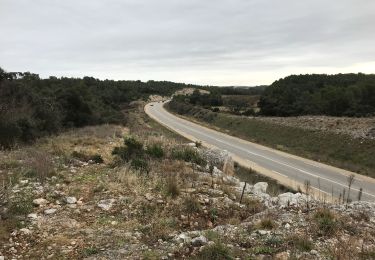
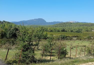
Tocht Trail van 8,9 km beschikbaar op Occitanië, Hérault, Assas. Deze tocht wordt voorgesteld door vasta.
Beschrijving
facile
Plaatsbepaling
Land:
France
Regio :
Occitanië
Departement/Provincie :
Hérault
Gemeente :
Assas
Locatie:
Unknown
Vertrek:(Dec)
Vertrek:(UTM)
572304 ; 4839130 (31T) N.
Opmerkingen
Wandeltochten in de omgeving
Balade entre villages et garrigue - Le Crès
Mountainbike
Moeilijk
(4)
Le Crès,
Occitanië,
Hérault,
France
1h 30min
Ja
Teyran - domaine des Restinclières boucle
Paardrijden
Medium
Teyran,
Occitanië,
Hérault,
France
27 km | 32 km-effort
5h 39min
Neen
guzargues source counillière crête antenne 14.4kms 255md sens inverseénivelé
Te voet
Heel gemakkelijk
(1)
Guzargues,
Occitanië,
Hérault,
France
12,4 km | 15,8 km-effort
2h 30min
Ja
monftferrier et autour d'Assas chemins non boueux19.4k 301m
Mountainbike
Gemakkelijk
(1)
Montferrier-sur-Lez,
Occitanië,
Hérault,
France
19,4 km | 23 km-effort
1h 10min
Ja
Assas circuit court
Stappen
Gemakkelijk
Assas,
Occitanië,
Hérault,
France
8,6 km | 10,5 km-effort
3h 5min
Ja