


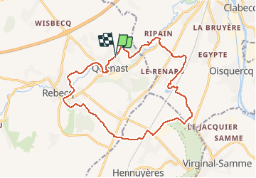


13,2 km | 15,9 km-effort

Gebruiker


Gratisgps-wandelapplicatie
 SityTrail
IGN / Geografische instituten
SityTrail World
De wereld gaat voor u open
Tocht Stappen van 16,5 km beschikbaar op Wallonië, Waals-Brabant, Rebecq. Deze tocht wordt voorgesteld door Patrick Michel.
Très chouette randonnée et avec le soleil qui plus est !


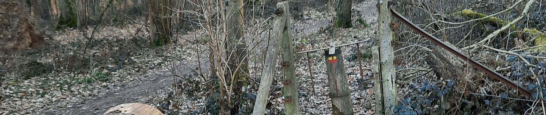
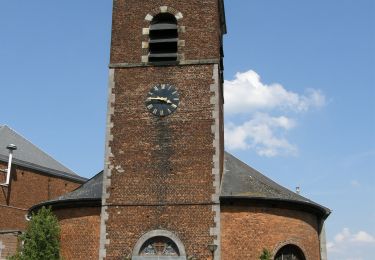
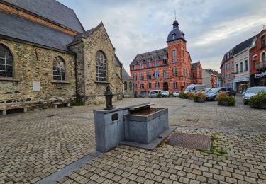
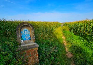
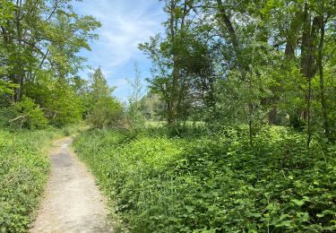
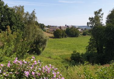
22 fotos in totaal. Klik op een foto om ze allemaal in de galerij weer te geven.

Stappen

Stappen

Stappen

Stappen
Stappen
Stappen
Stappen
Stappen
Stappen