


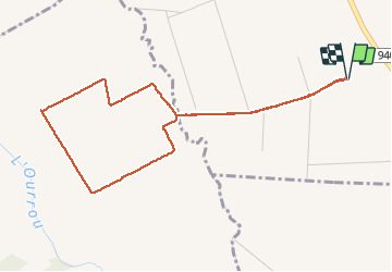

6,2 km | 6,7 km-effort

Gebruiker GUIDE


Gratisgps-wandelapplicatie
 SityTrail
IGN / Geografische instituten
SityTrail World
De wereld gaat voor u open
Tocht Stappen van 5,1 km beschikbaar op Nieuw-Aquitanië, Pyrénées-Atlantiques, Barzun. Deze tocht wordt voorgesteld door marmotte65.
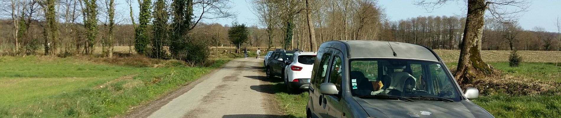
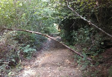
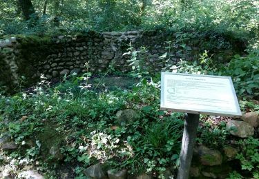
Parking face au silo 400m apres avoir quitté la route .Boucle de 5 km a plat et dans les mais a la saison une vrai rando santé


Stappen
Noords wandelen

Stappen
Stappen
Stappen
Stappen
Stappen
Te voet
Stappen