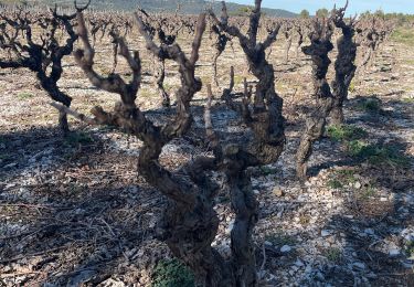
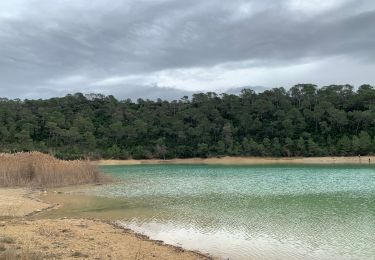
9,9 km | 15,1 km-effort
Les Avants de st Mathieu
kephas
Gebruiker
Lengte
8,9 km
Max. hoogte
149 m
Positief hoogteverschil
118 m
Km-Effort
10,5 km
Min. hoogte
102 m
Negatief hoogteverschil
120 m
Boucle
Ja
Datum van aanmaak :
2014-12-10 00:00:00.0
Laatste wijziging :
2014-12-10 00:00:00.0
127h46
Moeilijkheid : Onbekend
Gratisgps-wandelapplicatie
Over ons
Tocht Stappen van 8,9 km beschikbaar op Occitanië, Hérault, Saint-Mathieu-de-Tréviers. Deze tocht wordt voorgesteld door kephas.
Beschrijving
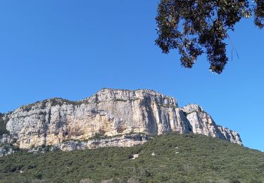
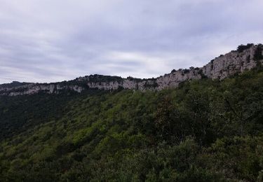
Balade tranquille avec beaux points de vue sur le Pic st Loup
Plaatsbepaling
Land:
France
Regio :
Occitanië
Departement/Provincie :
Hérault
Gemeente :
Saint-Mathieu-de-Tréviers
Locatie:
Unknown
Vertrek:(Dec)
Vertrek:(UTM)
570696 ; 4845648 (31T) N.
Opmerkingen
Wandeltochten in de omgeving
Ste Croix de Quintillargues
Stappen
Medium
(2)
Sainte-Croix-de-Quintillargues,
Occitanië,
Hérault,
France
6,8 km | 8,3 km-effort
1h 48min
Ja
l'Hortus crêtes
Stappen
Moeilijk
(1)
Valflaunès,
Occitanië,
Hérault,
France
19 km | 27 km-effort
6h 5min
Ja
guzargues source counillière crête antenne 14.4kms 255md sens inverseénivelé
Te voet
Heel gemakkelijk
(1)
Guzargues,
Occitanië,
Hérault,
France
12,4 km | 15,8 km-effort
2h 30min
Ja
L'hortus et château de Vivourès
Stappen
Medium
Valflaunès,
Occitanië,
Hérault,
France
15,6 km | 22 km-effort
8h 5min
Ja
Fontanes
sport
Heel gemakkelijk
Fontanès,
Occitanië,
Hérault,
France
7 km | 8,3 km-effort
Onbekend
Ja
Autour du pic saint loup
Stappen
Moeilijk
Saint-Mathieu-de-Tréviers,
Occitanië,
Hérault,
France
16,1 km | 27 km-effort
7h 39min
Ja
St croix de quintillargues Mas du Greffier M’ont la Suque
Stappen
Moeilijk
Sainte-Croix-de-Quintillargues,
Occitanië,
Hérault,
France
10,1 km | 14 km-effort
5h 44min
Ja
Sensei st mat
Stappen
Gemakkelijk
Saint-Mathieu-de-Tréviers,
Occitanië,
Hérault,
France
40 km | 45 km-effort
5h 15min
Neen