


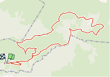

6 km | 9,9 km-effort


Gebruiker


Gratisgps-wandelapplicatie
 SityTrail
IGN / Geografische instituten
SityTrail World
De wereld gaat voor u open
Tocht Noords wandelen van 16,6 km beschikbaar op Nieuw-Aquitanië, Pyrénées-Atlantiques, Louvie-Soubiron. Deze tocht wordt voorgesteld door fred TMT.
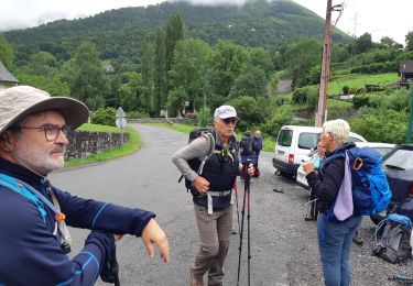
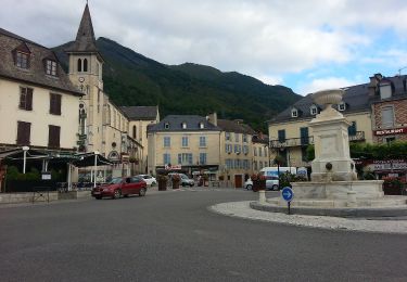
Belle boucle au départ du hameau de Listo,

Stappen

Stappen

Lopen


sport
Stappen

Te voet
Te voet
Te voet

Te voet