


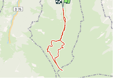

11 km | 16,7 km-effort


Gebruiker


Gratisgps-wandelapplicatie
 SityTrail
IGN / Geografische instituten
SityTrail World
De wereld gaat voor u open
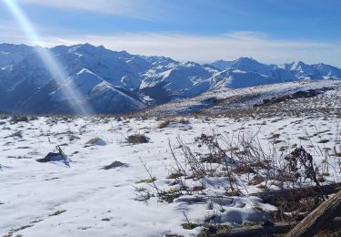
Tocht Sneeuwschoenen van 8,2 km beschikbaar op Occitanië, Haute-Garonne, Cazeaux-de-Larboust. Deze tocht wordt voorgesteld door meunier.ph..
Belles crêtes faîtière!


Mountainbike
Stappen

Stappen

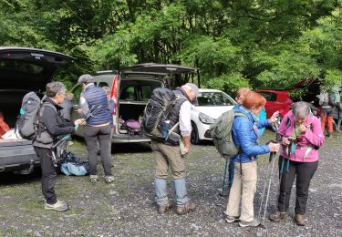
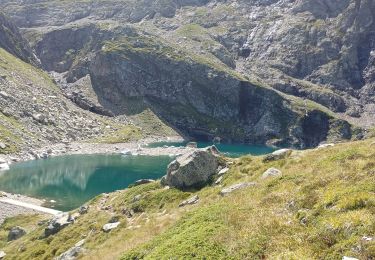
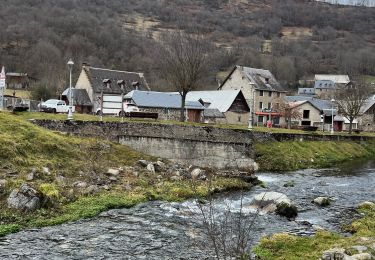
Te voet

Stappen
Stappen
Stappen
Stappen
Stappen