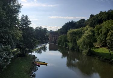
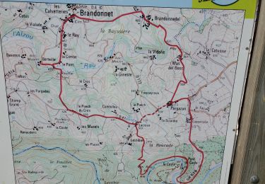
9,2 km | 13,6 km-effort
promenade brandonnet
François Debruyne
Gebruiker
Lengte
5,8 km
Max. hoogte
522 m
Positief hoogteverschil
176 m
Km-Effort
8,1 km
Min. hoogte
429 m
Negatief hoogteverschil
176 m
Boucle
Ja
Datum van aanmaak :
2021-02-17 14:49:18.933
Laatste wijziging :
2021-02-17 16:03:17.685
1h13
Moeilijkheid : Gemakkelijk
Gratisgps-wandelapplicatie
Over ons
Tocht Stappen van 5,8 km beschikbaar op Occitanië, Aveyron, Brandonnet. Deze tocht wordt voorgesteld door François Debruyne.
Plaatsbepaling
Land:
France
Regio :
Occitanië
Departement/Provincie :
Aveyron
Gemeente :
Brandonnet
Locatie:
Unknown
Vertrek:(Dec)
Vertrek:(UTM)
431995 ; 4913972 (31T) N.
Opmerkingen
Wandeltochten in de omgeving
Aveyron pont de cayra
Elektrische fiets
Medium
Brandonnet,
Occitanië,
Aveyron,
France
34 km | 47 km-effort
2h 30min
Ja
brandonnet j1
Lopen
Heel gemakkelijk
Brandonnet,
Occitanië,
Aveyron,
France
4,7 km | 6,7 km-effort
59min
Ja
negrefoylt 12
Auto
Heel gemakkelijk
Rieupeyroux,
Occitanië,
Aveyron,
France
54 km | 70 km-effort
3h 0min
Neen
Majjeville Aveyron
Stappen
Moeilijk
Maleville,
Occitanië,
Aveyron,
France
7,1 km | 9,5 km-effort
2h 14min
Ja
compolibat
Stappen
Heel gemakkelijk
Compolibat,
Occitanië,
Aveyron,
France
5,3 km | 7,5 km-effort
1h 55min
Ja
LA BASTIDE L'EVEQUE ET MARTINET DE LA RAMONDE
Stappen
Gemakkelijk
Le Bas Ségala,
Occitanië,
Aveyron,
France
5,7 km | 7,5 km-effort
1h 58min
Ja
la Bastide L'Evêque martinet
Stappen
Medium
Le Bas Ségala,
Occitanië,
Aveyron,
France
9,2 km | 13,3 km-effort
2h 53min
Ja
jogging brandonnet j13
Lopen
Heel gemakkelijk
Brandonnet,
Occitanië,
Aveyron,
France
8,3 km | 10,6 km-effort
1h 9min
Ja