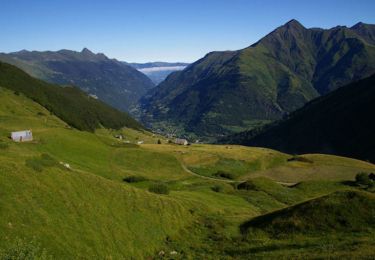
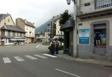
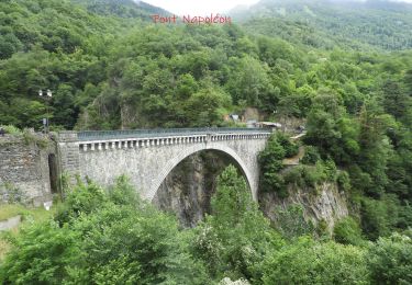
9,1 km | 18,9 km-effort
ESTERRE et sa banlieue G4 fait le 15 02 2021
marmotte65
Gebruiker GUIDE
Lengte
8,5 km
Max. hoogte
800 m
Positief hoogteverschil
306 m
Km-Effort
12,6 km
Min. hoogte
677 m
Negatief hoogteverschil
306 m
Boucle
Ja
Datum van aanmaak :
2021-02-15 10:27:39.12
Laatste wijziging :
2021-02-16 17:30:17.255
2h32
Moeilijkheid : Gemakkelijk
Gratisgps-wandelapplicatie
Over ons
Tocht Stappen van 8,5 km beschikbaar op Occitanië, Hautes-Pyrénées, Esterre. Deze tocht wordt voorgesteld door marmotte65.
Beschrijving
Trace basée sur la rando du meme nom pour le G3
Plaatsbepaling
Land:
France
Regio :
Occitanië
Departement/Provincie :
Hautes-Pyrénées
Gemeente :
Esterre
Locatie:
Unknown
Vertrek:(Dec)
Vertrek:(UTM)
255510 ; 4751308 (31T) N.
Opmerkingen
Wandeltochten in de omgeving
Le Pic Bergons
Stappen
Medium
(2)
Luz-Saint-Sauveur,
Occitanië,
Hautes-Pyrénées,
France
4,6 km | 10,2 km-effort
2h 10min
Ja
SityTrail - ESTERRE Viella / Luz / Esquieze / Esterre en boucle bis
Te voet
Heel gemakkelijk
(1)
Esterre,
Occitanië,
Hautes-Pyrénées,
France
9,4 km | 15,5 km-effort
Onbekend
Ja
Pic Bergons 2068m
Stappen
Medium
(1)
Luz-Saint-Sauveur,
Occitanië,
Hautes-Pyrénées,
France
5,9 km | 14 km-effort
6h 0min
Ja
Lac de Bastampe 2019m
Stappen
Moeilijk
(1)
Sazos,
Occitanië,
Hautes-Pyrénées,
France
13 km | 27 km-effort
5h 0min
Ja
ESTERRE Villenave st Sauveur Luz Esterre G4 "3613212"
Te voet
Gemakkelijk
Esterre,
Occitanië,
Hautes-Pyrénées,
France
9,4 km | 14,2 km-effort
3h 13min
Ja
BAREGES le tour des plateaux G4 reco 3264577
Stappen
Medium
Barèges,
Occitanië,
Hautes-Pyrénées,
France
7,2 km | 11 km-effort
2h 4min
Ja
LUZ SAINT SAUVEUR Les chemins de l agnouede bis
Te voet
Gemakkelijk
Luz-Saint-Sauveur,
Occitanië,
Hautes-Pyrénées,
France
11,8 km | 18,5 km-effort
4h 12min
Ja
Luz Saint Sauveur
Stappen
Gemakkelijk
Luz-Saint-Sauveur,
Occitanië,
Hautes-Pyrénées,
France
7,5 km | 10,3 km-effort
1h 48min
Neen