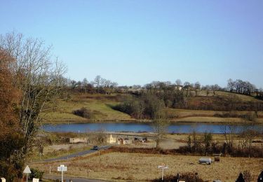
6,2 km | 6,7 km-effort
reconnaissance bords de l'Ousse 1
LouisROGER
Gebruiker GUIDE
Lengte
6,7 km
Max. hoogte
360 m
Positief hoogteverschil
71 m
Km-Effort
7,6 km
Min. hoogte
316 m
Negatief hoogteverschil
57 m
Boucle
Neen
Datum van aanmaak :
2021-02-14 15:29:57.923
Laatste wijziging :
2021-02-14 16:23:25.699
52m
Moeilijkheid : Heel gemakkelijk
Gratisgps-wandelapplicatie
Over ons
Tocht Mountainbike van 6,7 km beschikbaar op Nieuw-Aquitanië, Pyrénées-Atlantiques, Livron. Deze tocht wordt voorgesteld door LouisROGER.
Plaatsbepaling
Land:
France
Regio :
Nieuw-Aquitanië
Departement/Provincie :
Pyrénées-Atlantiques
Gemeente :
Livron
Locatie:
Unknown
Vertrek:(Dec)
Vertrek:(UTM)
732611 ; 4789891 (30T) N.
Opmerkingen
Wandeltochten in de omgeving
Livron Rs vershourssimplifié
Stappen
Medium
(1)
Livron,
Nieuw-Aquitanië,
Pyrénées-Atlantiques,
France
1h 31min
Ja
Lac de Gabas - Luquet
Stappen
Medium
(1)
Luquet,
Occitanië,
Hautes-Pyrénées,
France
9,3 km | 11,1 km-effort
2h 0min
Ja
BARZUN Bedat et Sarrailh RS fait
Stappen
Gemakkelijk
Barzun,
Nieuw-Aquitanië,
Pyrénées-Atlantiques,
France
5,1 km | 5,4 km-effort
1h 15min
Ja
Livron capsus Barzun plateau capbat
Noords wandelen
Heel gemakkelijk
Livron,
Nieuw-Aquitanië,
Pyrénées-Atlantiques,
France
9,6 km | 11,8 km-effort
1h 53min
Ja
Mairie à Mairie1
Stappen
Gemakkelijk
(1)
Espoey,
Nieuw-Aquitanië,
Pyrénées-Atlantiques,
France
5 km | 5,7 km-effort
1h 11min
Ja
sur les pas deBC 2018
Stappen
Heel gemakkelijk
Livron,
Nieuw-Aquitanië,
Pyrénées-Atlantiques,
France
12 km | 14,2 km-effort
3h 6min
Ja
rslivron
Stappen
Heel gemakkelijk
(1)
Livron,
Nieuw-Aquitanië,
Pyrénées-Atlantiques,
France
5,6 km | 6,1 km-effort
1h 21min
Ja
SAINT-VINCENT Collecte GR 782 1 "4117813" (fin)
Stappen
Gemakkelijk
Bénéjacq,
Nieuw-Aquitanië,
Pyrénées-Atlantiques,
France
4,9 km | 5,7 km-effort
1h 17min
Neen
LIVRON RS Artigamen et le bois de chataigners "3867119"
Stappen
Gemakkelijk
Livron,
Nieuw-Aquitanië,
Pyrénées-Atlantiques,
France
5 km | 5,7 km-effort
1h 40min
Ja