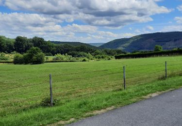
15,3 km | 21 km-effort
sortie du 13-02-2021
choumac08
Gebruiker
Lengte
23 km
Max. hoogte
423 m
Positief hoogteverschil
1154 m
Km-Effort
39 km
Min. hoogte
131 m
Negatief hoogteverschil
1149 m
Boucle
Ja
Datum van aanmaak :
2021-02-11 20:45:07.04
Laatste wijziging :
2021-02-11 21:10:23.912
2h30
Moeilijkheid : Heel gemakkelijk
Gratisgps-wandelapplicatie
Over ons
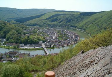
Tocht Trail van 23 km beschikbaar op Grand Est, Ardennes, Bogny-sur-Meuse. Deze tocht wordt voorgesteld door choumac08.
Plaatsbepaling
Land:
France
Regio :
Grand Est
Departement/Provincie :
Ardennes
Gemeente :
Bogny-sur-Meuse
Locatie:
Unknown
Vertrek:(Dec)
Vertrek:(UTM)
625062 ; 5524263 (31U) N.
Opmerkingen
Wandeltochten in de omgeving
De Monthermé à Bogny sur Meuse par les sentiers de crêtes
Stappen
Moeilijk
(2)
Monthermé,
Grand Est,
Ardennes,
France
14,6 km | 23 km-effort
5h 0min
Ja
Rando. Nouzonville FFSP
Stappen
Medium
(1)
Nouzonville,
Grand Est,
Ardennes,
France
15,9 km | 21 km-effort
3h 55min
Ja
La promenade du Liry et des Quatre Fils Aymon
Stappen
Medium
(1)
Bogny-sur-Meuse,
Grand Est,
Ardennes,
France
11,4 km | 16,9 km-effort
3h 0min
Ja
Balade VTT sympa
Andere activiteiten
Gemakkelijk
(1)
Nouzonville,
Grand Est,
Ardennes,
France
11,7 km | 13,8 km-effort
1h 18min
Ja
La roche 7H Monthermé
Stappen
Medium
Monthermé,
Grand Est,
Ardennes,
France
5,9 km | 9 km-effort
2h 24min
Ja
meillier fontaine chemin bleu les hutins
Stappen
Medium
Nouzonville,
Grand Est,
Ardennes,
France
8,6 km | 11,8 km-effort
2h 40min
Ja
Monthermé 22,7 km tour des rochers
Stappen
Moeilijk
Monthermé,
Grand Est,
Ardennes,
France
23 km | 36 km-effort
8h 20min
Ja