


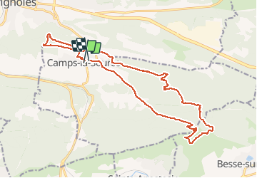

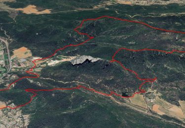
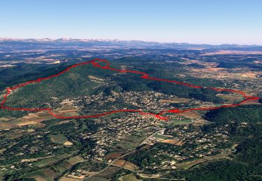
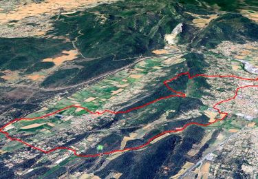
13,9 km | 23 km-effort

Gebruiker


Gratisgps-wandelapplicatie
 SityTrail
IGN / Geografische instituten
SityTrail World
De wereld gaat voor u open
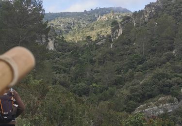
Tocht Stappen van 21 km beschikbaar op Provence-Alpes-Côte d'Azur, Var, Camps-la-Source. Deze tocht wordt voorgesteld door Christiancordin.
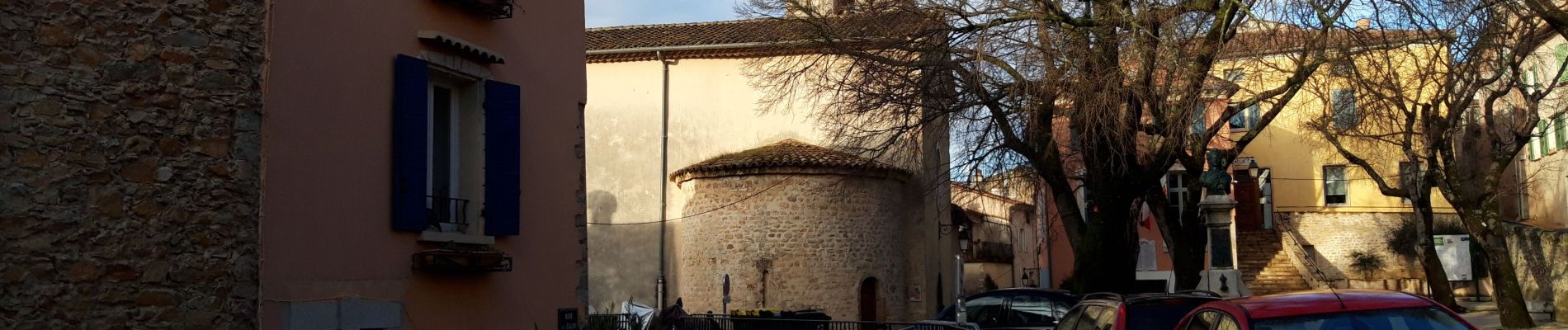
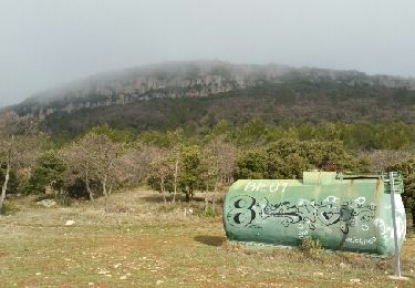
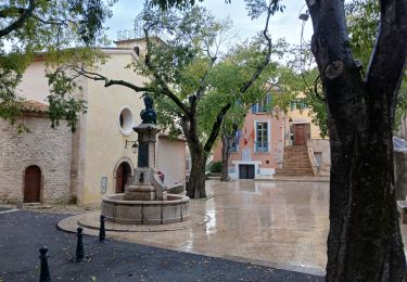
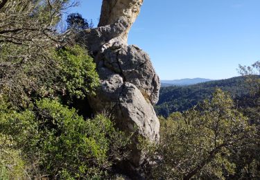
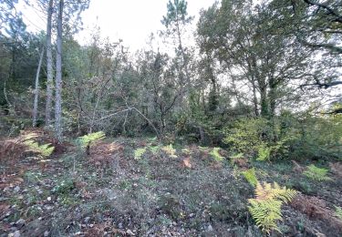
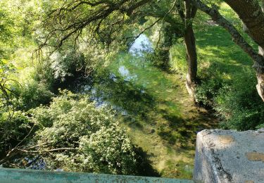
Camps la Source-rocher du Gueit-table d'orientation-théâtre de l'olive en plein air-chapelle St Sébastien-les châtaignier-chapelle St Quinis-route des oratoires.


Stappen
Stappen
Stappen
Stappen
Stappen
Stappen

sport
Stappen
Stappen