


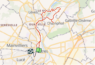

6,7 km | 7,8 km-effort


Gebruiker


Gratisgps-wandelapplicatie
 SityTrail
IGN / Geografische instituten
SityTrail World
De wereld gaat voor u open
Tocht Stappen van 16,8 km beschikbaar op Centre-Val de Loire, Eure-et-Loir, Chartres. Deze tocht wordt voorgesteld door zaegelmarc.
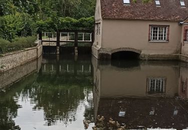
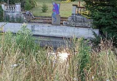
Butte des charbonniers, grands prés, Aligre, le Mousseau, bois de Lèves, moulin en travaux, dechetterie et bois de Champhol, la Barillette, le Rigeard, place Drouaise, rue Muret, boulangerie Feuillette.

Stappen

Stappen
Stappen

Stappen
Mountainbike
Noords wandelen

Stappen
Stappen
Noords wandelen