


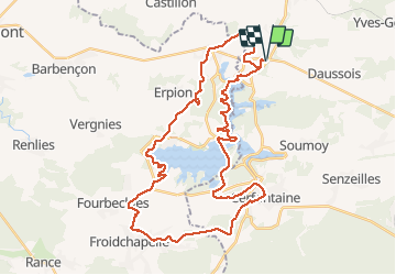

21 km | 26 km-effort


Gebruiker GUIDE


Gratisgps-wandelapplicatie
 SityTrail
IGN / Geografische instituten
SityTrail World
De wereld gaat voor u open
Tocht Mountainbike van 40 km beschikbaar op Wallonië, Namen, Cerfontaine. Deze tocht wordt voorgesteld door pascalou73.
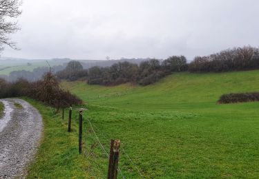
Voilà un VTT dans la région de Namur au départ du village de Silenrieux pour découvrire la région des lacs de l'eau d'heure avec de beaux points de vue sur les lacs et de beaux passages dans les bois et les campagnes de la région .bonne découverte.


Stappen

Stappen

Stappen

Stappen
Stappen
Stappen

Stappen
Stappen
Stappen