


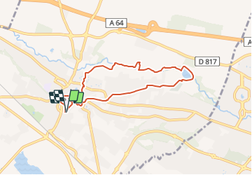

19,6 km | 27 km-effort


Gebruiker GUIDE


Gratisgps-wandelapplicatie
 SityTrail
IGN / Geografische instituten
SityTrail World
De wereld gaat voor u open
Tocht Te voet van 7,6 km beschikbaar op Nieuw-Aquitanië, Pyrénées-Atlantiques, Lescar. Deze tocht wordt voorgesteld door marmotte65.
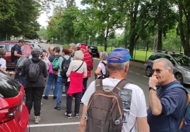
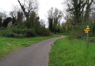
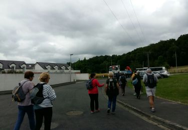
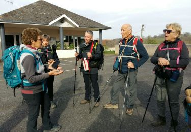
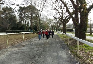
un seul groupe pour cette balade urbaine
coordonnées parking de départ N 43 19 50 .4 W000 26 07.3

Stappen
Stappen

Mountainbike
Stappen
Stappen
Stappen
Stappen
Stappen
Stappen