


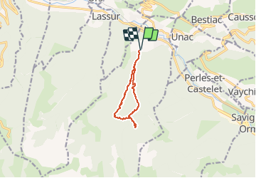

12,3 km | 26 km-effort

Gebruiker


Gratisgps-wandelapplicatie
 SityTrail
IGN / Geografische instituten
SityTrail World
De wereld gaat voor u open
Tocht Stappen van 8,8 km beschikbaar op Occitanië, Ariège, Luzenac. Deze tocht wordt voorgesteld door chrisgps.
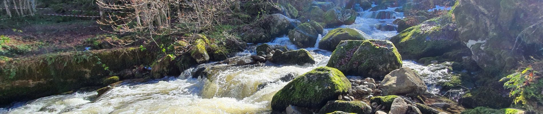
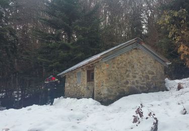
Agréable parcours en foret pour arriver à la Cabane
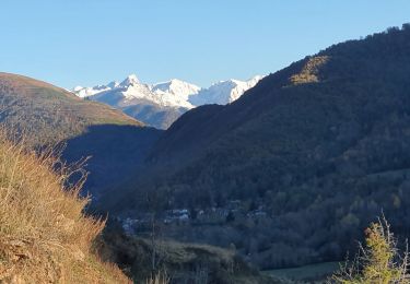
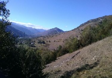
Beau panorama sur le massif de Tabe
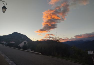
Redescente "sportive" pour rejoindre le chemin menant au hameau Sourtadeil via le Font de Canalette le long du ruisseau de Lavail


Stappen
Stappen
Stappen

Stappen
Stappen
Stappen
Stappen
Stappen
Stappen