

La Pommeraye

albers
Gebruiker

Lengte
25 km

Max. hoogte
301 m

Positief hoogteverschil
686 m

Km-Effort
34 km

Min. hoogte
43 m

Negatief hoogteverschil
684 m
Boucle
Ja
Datum van aanmaak :
2014-12-10 00:00:00.0
Laatste wijziging :
2014-12-10 00:00:00.0
1h55
Moeilijkheid : Medium

Gratisgps-wandelapplicatie
Over ons
Tocht Mountainbike van 25 km beschikbaar op Normandië, Calvados, Donnay. Deze tocht wordt voorgesteld door albers.
Beschrijving
belle rando beau panorama au départ. De bien belle descentes certaine un peu technique, et surtout et évidemment des montées..... de vaches!!! c'est la Suisse Normande.
Plaatsbepaling
Land:
France
Regio :
Normandië
Departement/Provincie :
Calvados
Gemeente :
Donnay
Locatie:
Unknown
Vertrek:(Dec)
Vertrek:(UTM)
689268 ; 5423669 (30U) N.
Opmerkingen
Wandeltochten in de omgeving
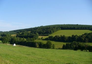
Espace VTT FFC de Suisse Normande - Circuit 11 - Saint Omer


Mountainbike
Zeer moeilijk
(1)
Saint-Omer,
Normandië,
Calvados,
France

25 km | 34 km-effort
3h 0min
Ja
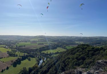
Clécy


Stappen
Gemakkelijk
(1)
Le Vey,
Normandië,
Calvados,
France

14,8 km | 20 km-effort
3h 51min
Ja
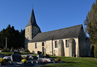
Des Montagnes de Normandie?


Te voet
Medium
Le Bô,
Normandië,
Calvados,
France

15,4 km | 20 km-effort
4h 38min
Neen
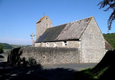
La Chapelle Bonne Nouvelle


Te voet
Gemakkelijk
Esson,
Normandië,
Calvados,
France

9,5 km | 13,3 km-effort
3h 1min
Ja

Les Rochers de Briesvieille


Te voet
Gemakkelijk
(1)
La Pommeraye,
Normandië,
Calvados,
France

9,1 km | 12,9 km-effort
2h 55min
Neen
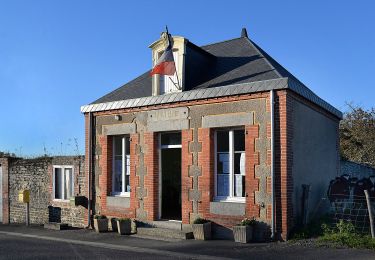
Le Moulin à Papier


Te voet
Gemakkelijk
Le Bô,
Normandië,
Calvados,
France

7,1 km | 9,6 km-effort
2h 11min
Ja
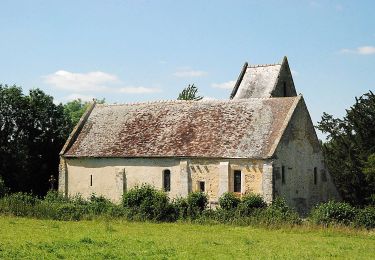
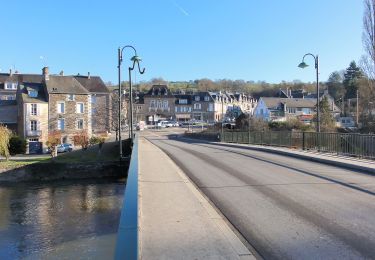
GRP Tour de la Suisse Normande


Te voet
Moeilijk
Esson,
Normandië,
Calvados,
France

25 km | 35 km-effort
7h 58min
Neen
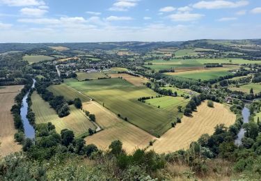
Suisse normande le Vey journée 13km


Noords wandelen
Moeilijk
Clécy,
Normandië,
Calvados,
France

12,9 km | 17,6 km-effort
4h 8min
Ja


 SityTrail


