


3 km | 3,3 km-effort

Gebruiker


Gratisgps-wandelapplicatie
 SityTrail
IGN / Geografische instituten
SityTrail World
De wereld gaat voor u open
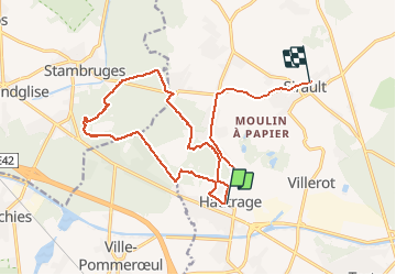
Tocht Stappen van 17,2 km beschikbaar op Wallonië, Henegouwen, Saint-Ghislain. Deze tocht wordt voorgesteld door Raphaël Richez.
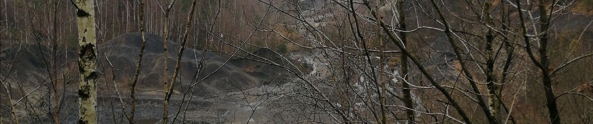
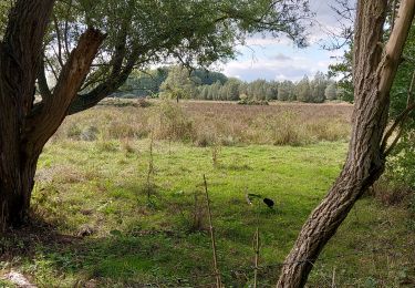
De Hautrage à la mer de sable 11 km dans les bois. Attention beaucoup d'eau et de boue, il faut s'équiper.


Stappen

Noords wandelen

Te voet
Noords wandelen
Stappen
Stappen
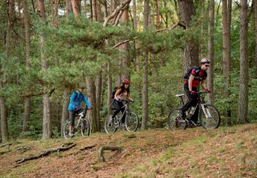
Mountainbike

Mountainbike
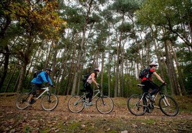
Mountainbike