


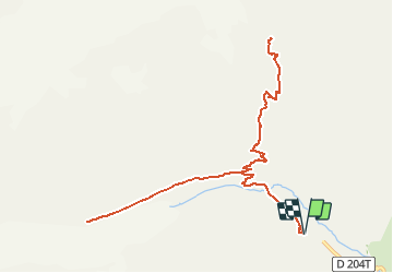

25 km | 58 km-effort


Gebruiker


Gratisgps-wandelapplicatie
 SityTrail
IGN / Geografische instituten
SityTrail World
De wereld gaat voor u open
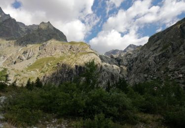
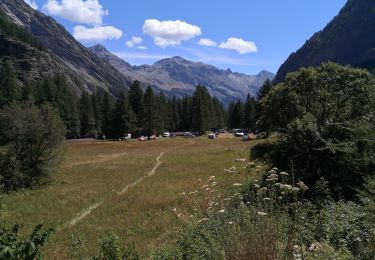
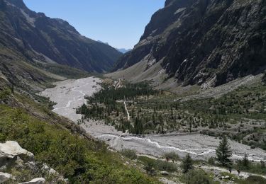
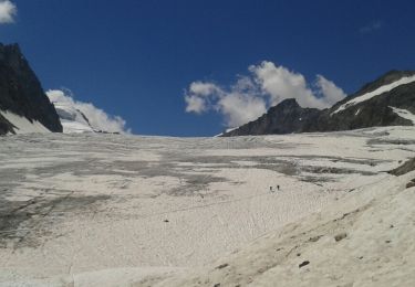
Tocht Stappen van 13,3 km beschikbaar op Provence-Alpes-Côte d'Azur, Hautes-Alpes, Vallouise-Pelvoux. Deze tocht wordt voorgesteld door Zoé Hebinger.
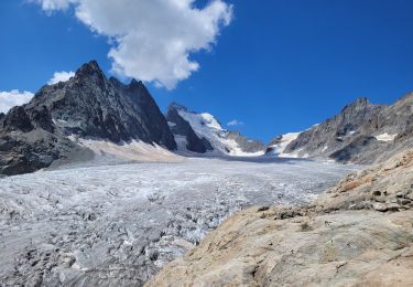
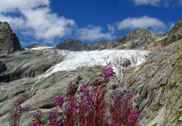
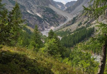
Un endroit incroyable au départ du prés de madame Carle à 8h30 le 27 Juillet 2020, chemin très bien indiqué.
Cependant il faut partir tôt sur cette balade car très populaire en été, surtout du coté du glacier blanc, beaucoup moins de monde sur le chemin du glacier noir!

Stappen
Stappen
Stappen
Stappen
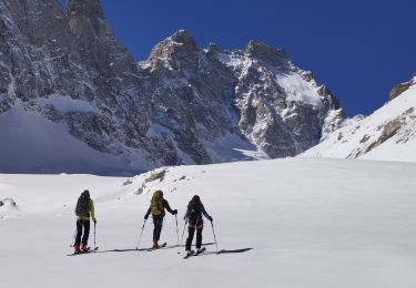
Ski randonnée
Stappen
Stappen
Stappen
Stappen