


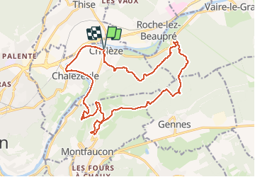

6,9 km | 9,3 km-effort

Gebruiker


Gratisgps-wandelapplicatie
 SityTrail
IGN / Geografische instituten
SityTrail World
De wereld gaat voor u open
Tocht Stappen van 21 km beschikbaar op Bourgondië-Franche-Comté, Doubs, Chalèze. Deze tocht wordt voorgesteld door TRIMAILLE.
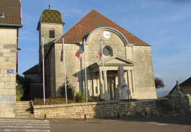
Départ à Chaléze du parking de l'église.
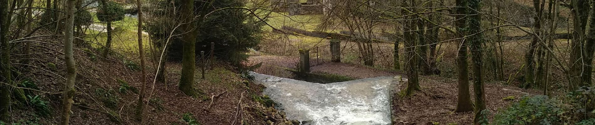
A voir Château et fort de Montfaucon, Fort des Epesses, Sapin et chêne président (a proximité cabane de chasse pour pique niquer), sources Bergeret et source d'Arcier


Stappen

Stappen

Te voet

Te voet

Te voet

Te voet

Te voet
Te voet
Te voet