


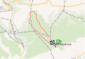

18,2 km | 26 km-effort


Gebruiker


Gratisgps-wandelapplicatie
 SityTrail
IGN / Geografische instituten
SityTrail World
De wereld gaat voor u open
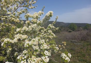
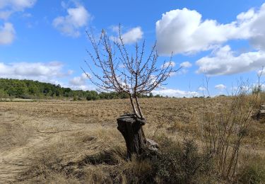
Tocht Stappen van 6,1 km beschikbaar op Occitanië, Aude, Villegly. Deze tocht wordt voorgesteld door bernardbelmas.
Petite ballade vers la centrale photo voltaique depuis Villegly

Stappen
Mountainbike
Stappen

Te voet

Stappen
Te voet

Stappen

Stappen