


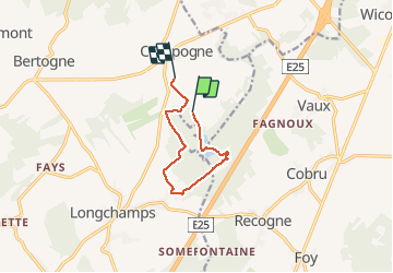

11,7 km | 13,9 km-effort


Gebruiker


Gratisgps-wandelapplicatie
 SityTrail
IGN / Geografische instituten
SityTrail World
De wereld gaat voor u open
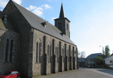
Tocht Stappen van 7,3 km beschikbaar op Wallonië, Luxemburg, Bertogne. Deze tocht wordt voorgesteld door Tim0130.
Facilité de parking au point de départ et d'arrivée (en face du terrain de foot ou un peu plus loin le long du champ) ! Super promenade ô combien agréable dans une si belle région. Le lac présent sur le parcours un peu plus loin peut être un bel endroit ou s'arrêter en été.
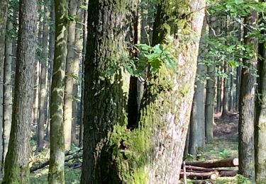
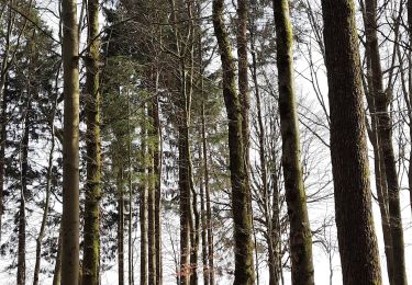
 - Photo 1")
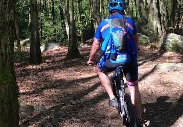
 - Photo 2")

Stappen
Stappen
Te voet
Mountainbike

Mountainbike

Te voet

Te voet
Te voet

Te voet