10,3 km | 13,3 km-effort
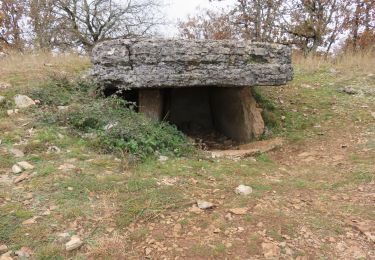
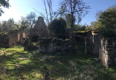
Ruines de Taillefer
neleda
Gebruiker
Lengte
6,4 km
Max. hoogte
314 m
Positief hoogteverschil
137 m
Km-Effort
8,2 km
Min. hoogte
268 m
Negatief hoogteverschil
125 m
Boucle
Neen
Datum van aanmaak :
2021-01-17 14:09:10.107
Laatste wijziging :
2021-01-17 16:30:26.911
1h54
Moeilijkheid : Heel gemakkelijk
Gratisgps-wandelapplicatie
Over ons
Tocht Stappen van 6,4 km beschikbaar op Occitanië, Lot, Carennac. Deze tocht wordt voorgesteld door neleda.
Beschrijving
Petite rando facile avec magnifiques points de vue sur la vallée
Plaatsbepaling
Land:
France
Regio :
Occitanië
Departement/Provincie :
Lot
Gemeente :
Carennac
Locatie:
Unknown
Vertrek:(Dec)
Vertrek:(UTM)
400669 ; 4972635 (31T) N.
Opmerkingen
Wandeltochten in de omgeving
Loubressac-Château des Anglais
Stappen
Gemakkelijk
Loubressac,
Occitanië,
Lot,
France
8,6 km | 12,1 km-effort
2h 21min
Ja
Magnagues
Stappen
Heel gemakkelijk
Carennac,
Occitanië,
Lot,
France
16,8 km | 21 km-effort
4h 51min
Ja
2021-11-20_20h14m14_0ePw2rSfp3MfACzh8d3-Xw
Stappen
Medium
(1)
Miers,
Occitanië,
Lot,
France
9,6 km | 11,9 km-effort
2h 42min
Ja
Laguizayrie
Stappen
Gemakkelijk
Loubressac,
Occitanië,
Lot,
France
15,9 km | 20 km-effort
3h 59min
Ja
ruiné de taillefer
Stappen
Gemakkelijk
Carennac,
Occitanië,
Lot,
France
10,9 km | 15,2 km-effort
2h 39min
Ja
mas del pouch par moulin de la force
Stappen
Heel gemakkelijk
(2)
Bilhac,
Nieuw-Aquitanië,
Corrèze,
France
8,4 km | 10,7 km-effort
2h 18min
Ja
La Via Arverna (Carennac - Rocamadour)
Stappen
Moeilijk
Carennac,
Occitanië,
Lot,
France
27 km | 36 km-effort
7h 45min
Neen